I included most of Brookline in this evaluation but excluded most of the southern portion of Brookline south of the Boston-Worcester Pike as this area is low density with more or less suburban development. I did include the High Street Hill District south of the Pike westward to Chestnut as this is a pretty compact sub-district.
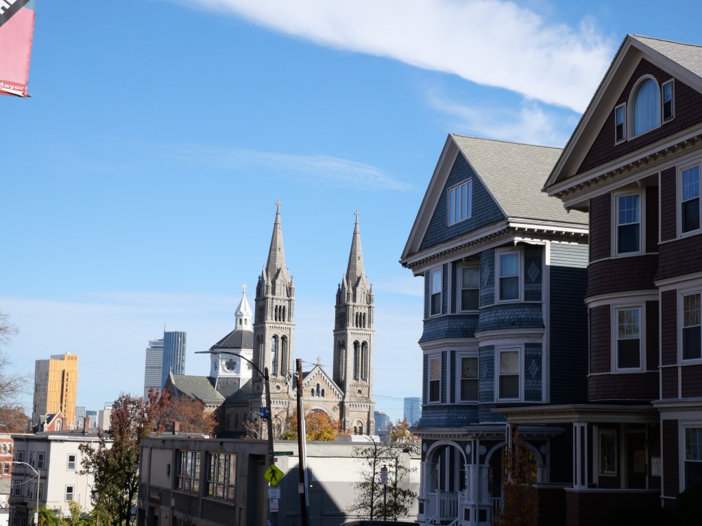
Brookline was incorporated as a separate town with the name of Brookline in 1705. The town was very small for many years having only reached 2,500 by 1850. But by the late 19th century Boston was rapidly expanding and annexed neighboring Brighton and West Roxbury in the 1870s. Brookline resisted this development pressure and voted to remain independent from Boston in 1874. By 1912 Roxbury was completely surrounded by Boston on 3 sides. Given its desire to remain exclusive and separate from Boston, its not surprising that the town had a strong history of racial discrimination in zoning and mult-family housing in turn of the 20th century, which led to a disproportionately wealthy population, and present day Black population of only 2.5%. By the mid 20th century Brookline began to diversify becoming a major Jewish and Irish hub in Boston and by the 20th century a major concentration of Asian families. Brookline north of route 9 is pretty dense at around 20K residents per sq mile similar to other older Boston suburbs like Cambridge, Somerville, and Chelsea. Density drops significantly south of route 9 and is mostly single family homes on large lots and curvilinear roads.
From an urban perspective Brookline is a solid urban suburb with great transit access to Dwtn (including three branches of the Green line), great cultural and retail amenities, plenty of well rated walkable schools, good bike amenities, an amazing tree canopy and plentiful parks and wonderful array of historic homes and early 20th century apartment bldgs (although no triple decker housing as that was banned). For Brookline to become a top tier Boston district it needs to urbanize and better tame traffic along Brighton Ave and Route 9, install more consistent ADA curb cuts, and densify adding much needed housing stock to the community.
Click here to view my Brookline Album on Flickr
URBAN STRENGTHS:
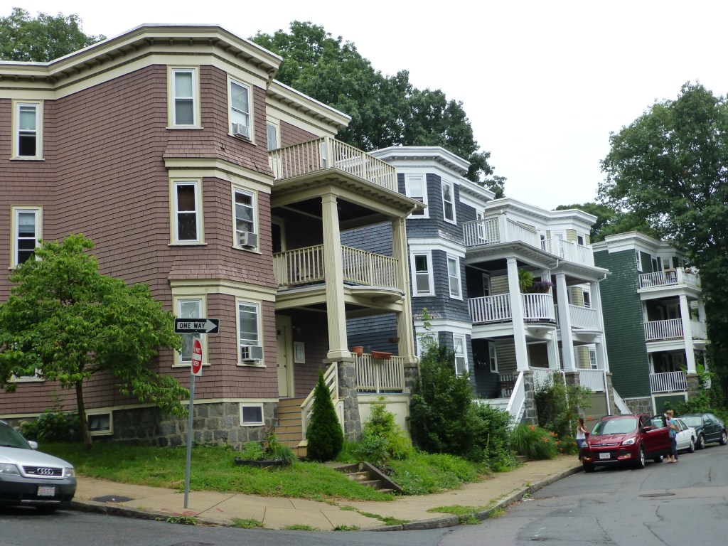
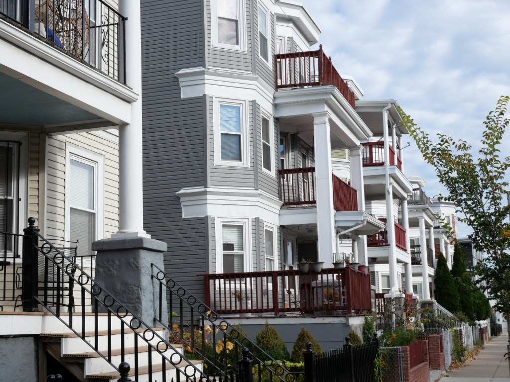
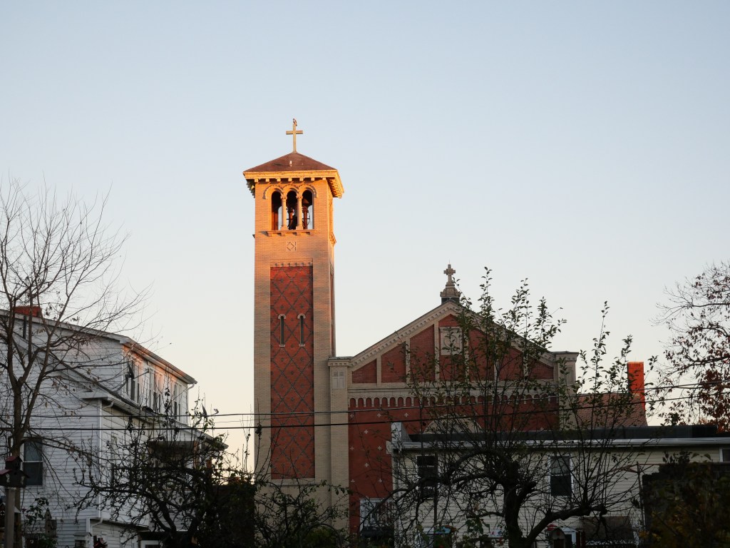
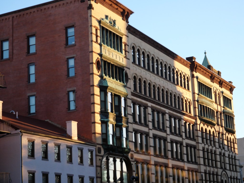
- Excellent urban form along Beacon street with many 3-7 story townhouses and apartment bldgs with areas of commercial nodes mixed in. Harvard is the main and most consistent biz district in Brookline and generally has great form with only a handful of autocentric blocks.
- Solid density at just over 18K people per square mile.
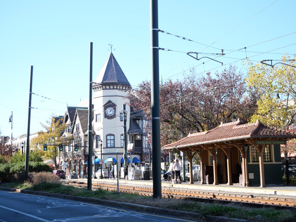
- Solid public transit access thanks to the 3 green line spurs running through the neighborhood.
- Excellent bike lane coverage for most of this evaluation area except the low density SW corner. Solid bike sharing station coverage but not as good as inner city Boston districts.
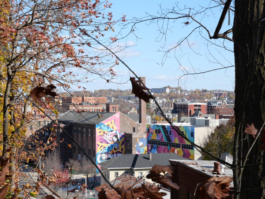
- Great tree canopy esp. for such a dense urban district.
- Excellent park amenities with many well dispersed small & medium parks along with the part of the Emerald Necklace on the eastern edge and the Brookline Reservoir Park. Also a public indoor pool.
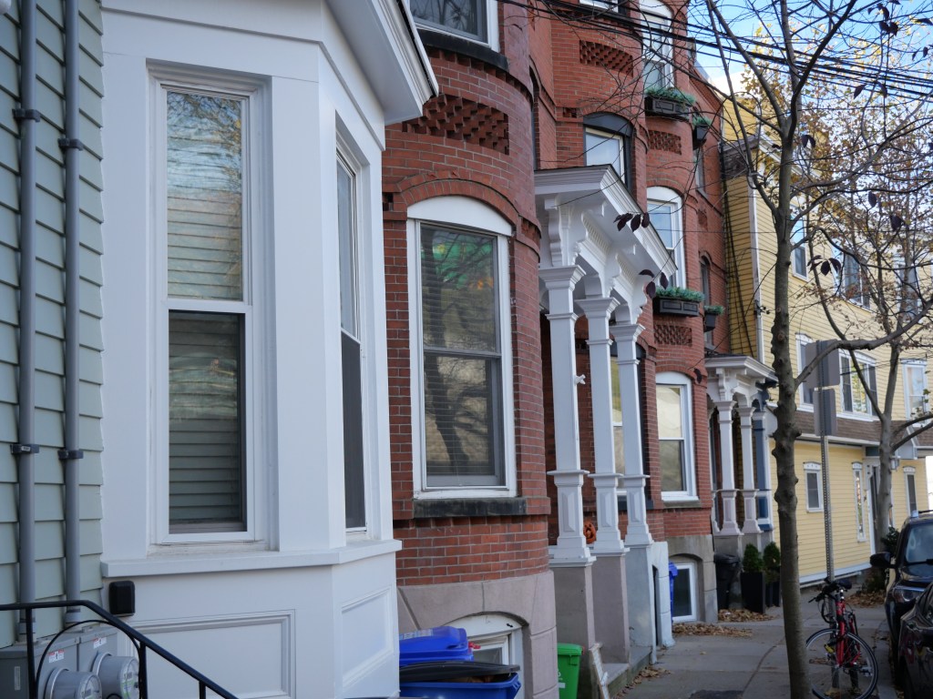
- Excellent historic housing including a great mix of turn of the 20th century attractive single family housing and stately historic brick apartment bldgs. Lots of mid century apartment bldgs with solid urban form. Some modern autocentric uses but not a ton.
- Very low rates of crime.
- Rental units are plentiful but very expensive. Studios & 1 bed range btwn 2K-5K, 2-beds 2.8K-7K, Plenty of 3 & 4-beds as well renting from btwn 3K-10K. Brookline does at least have its own Housing Authority that manages about 1K units.
- Well rated public schools with most of the located in the walkable part of Brookline. Good # of private schools as well but many of them are small Orthodox Jewish schools or located in the less walkable part of Brookline.
- Cultural amenities: Good number of bars, cafes & restaurants concentrated along Harvard and Beacon, some art galleries, several community performing arts centers, an Indie Movie theater, plenty of historic sites (includes a couple NPS sites) and some local museums.
- Great retail amenities including several grocery stores and plenty of grocerias, plenty of drug stores, a target & TJ Max, a couple hardware stores, good # of boutiques, gift shops & clothing stores, several book stores, a toy store and a couple bike shops, plenty of banks, tons of dessert joints, bakeries & gyms, a couple public libraries & a post office, plenty of churches, a Children’s hospital, several medical & doctor’s offices and plenty of major hospitals on the edges of Brookline.”
URBAN WEAKNESSES:
- Sidewalks and curb cuts are consistent but ADA standard curbs are really only 60% of all intersections and there are lots of narrow and curvilinear sidewalks.
- Brighton Ave and Route 9 are pretty high traffic streets with a good amount of auto centric uses along them.
- Expensive for sale options but some moderately price 1-bed condos ranging from 300K-!MK, 2-beds btwn 400K-2M, 3 & 4 beds btwn 500K-4M”