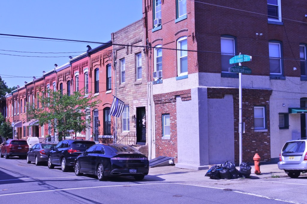
Originally, the neighborhood was composed mostly of single-family row houses and with some industry and active commercial streets along Girard, Broad, Ridge, and Spring Garden. The depression interestingly lead to widespread disinvestment in Poplar several decades before its adjacent northside neighborhoods. This prompted the City to raze much of the historic fabric in the 1930s and build Richard Allen Homes, one of the City’s first large public housing projects. The Richard Allen Homes remained Poplar’s defining physical characteristic for the next several decades. Budget cuts by the City in the 60s lead to an egregious degree of deterioration compounded by poorly planned open spaces. This encouraged crime and gave Poplar notoriety as a center for crime and drug trafficking in the 1970s and 1980s. Allen Homes and the Cambridge Plaza high-rise were demolished in the early 2000s and replaced with more suburban-style duplexes and single-family homes. I find most of this replacement housing rather bland and unsensitive to the surrounding urban context, but the redevelopment appears to have greatly reduced blight and crime in the neighborhood.
The edges of Poplar is where the best urban fabric remains. Broad Street still retains much of its grand mid-level urban fabric housing a good array of cultural amenities. Its intersection with Ridge Street has become an excellent urban node with TOD like development near the Fairmount Metro Station. Spring Garden is gritty but is becoming an interesting historic mixed-use area. There is also a good amount of historic rowhouses along the southern and eastern edges of the neighborhood. Girard Street is the least attractive thoroughfare sadly succumbing to the twin forces of blight and auto centric development. My hope is the neighborhood becomes a shinning example of a mixed-income neighborhood. Poplar already hosts a high percentage of affordable housing and has significant room of new market rate development. The neighborhood could use particular attention to building up its retail/neighborhood amenities along its commercial corridors, reconstructing Girard street, eliminating remaining blight, and creating more parks and recreational amenities.
URBAN STRENGTHS:
* Great public transit access and convenient access to Dwtn.
* Good array of dedicated bike lanes and a handful of bike stations in the district.
* Great racial diversity in the district.
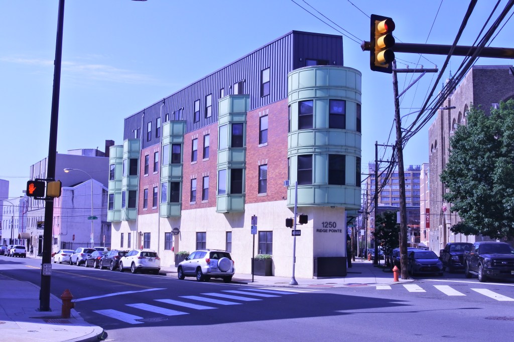
* Tons of subsidized units. In really they probably make too high a pct% of the housing units but seem like a good building point as the district fills in with market rate housing. Market rate rentals concentrated along the SW edge, Girard Street, and the Poplar’s east border with Northern Liberties. Some 1-bedrooms leasing in the low to mid $1,000s. 2-bedroom are more plentiful and rent the whole range of $1,000s. Also some 3-bedrooms lease in the 1Ks and 2Ks.
* Decent tree cover helped by all the recent Public Housing Projects.
* Cultural amenities concentrated along Broad, Spring Garden and near Northern Liberties. They include a good array of restaurants, a decent # of bars, cafes & breweries, several art galleries, Philly MOCA, the Jewish Museum of Art, the Met and a couple live music venues.
* Retail amenities are ok. They include an Aldi’s but plenty of little grocerias, several drug stores, a public library, post office, a handful of banks and boutiques, and a Target just SE of the Poplar boundaries.
* Pretty good school options including several decent public and charter schools within the district. Easy access to several more in surrounding areas.
URBAN WEAKNESSES:
* Most intersections have curb cuts but most do not have up to date ADA curbs.
* Economic diversity seems to be slowly improving but still a very high poverty rate (42%). Family diversity not great. Only 30% of households are family households.
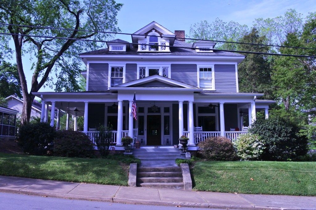
* For sale homes are very concentrated in the southern and east district edges. Decent amount of condos and smaller 2 & 3 bedroom flats selling in the high 200Ks and 300Ks. Should be more of this product however. At least 1/2 of the for sale product is larger/higher end homes selling between 400K-700K.
* Recreational amenities aren’t great but several worth mentioning including Poplar Park, the John F Street Community Center, an Carrie Turner Community Park. Some parks within a 1/3 mile of the districts boundaries.
* Good amount of blight still in the community but much of it cleared away by urban renewal. Girard def the most blighted/autocentric/uninspiring street in the district. Crime is prob still moderate but much better than past decades.
* The District’s best urban form and streetscaping is along Broad, Spring Garden and the Southern and eastern edges of the neighborhood. This is also where the best historic architecture lies.