Mechanicsburg was named after a settlement of mechanics who made and repaired Conestoga wagons in the early 19th century. The town’s economic based changed in 1837 with the creation of the Cumberland Valley Railroad. The train became the town’s link to the world of business and industry spurring the creation of grain and feed companies, lumber yards, and numerous factories. By the Civil War era Mechanicsburg reached 2K residents and continued to grow steadily reaching 4K by 1900 and 7K in 1950. After decades of suburban growth thanks its proximity to Harris burgh and the recent new urbanist inspired “”Legacy Village community, the Borough exceeded 9K residents in 2020.
Thanks to its significant pre 1900 population, Mechanicsburg is a historic town with a largely urban and square mile core with decent retail amenities, good urban form, attractive park amenities, and a stable yet affordable housing market. For Mechanicsburg to become a top tier urban district it needs more population and urban in-fill similar to historic DC suburbs like Fredrick Maryland. I’m just not sure that Harrisburg has the economic dynamism to create just am urban suburb.
Click here to view my Mechanicsburgh album on Flickr
URBAN STRENGTHS:
* Overall good sidewalk infrastructure with about 1/2 of all curb cuts being ADA standard.
* Generally well rated public schools all within walking district of the historic Mechanicsburg. Also a couple of private schools too.
* Pretty high safety marks in Mechanicsburg.
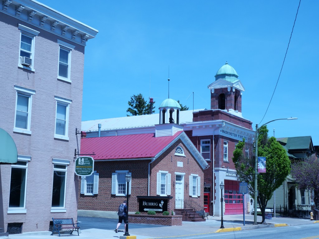
* A couple expansive parks with numerous ballfields and sports facilities. Also an outdoor pool but not dynamic plaza and urban park in the core of the City. No Civic gathering space.
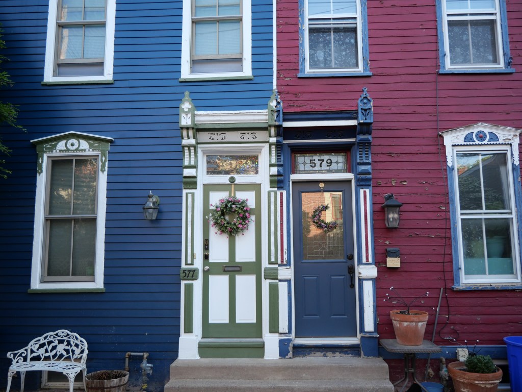
* Lots of attract mid-late 19th century architecture styles but lots of different eras representing up until the 1950s. A good amount of the historic stock is a bit gritty and more working class in fell. The historic stock is not on the same level as Fredrick MD or even York PA.
* Solid urban massing along most of Main Street and the commercial blocks of Market are pretty solid urban form. Nothing particularly special about the streetscaping.
* Decent amount of rentals moderately priced. 1-bes lease btwn $900-1.6K, 2-beds in the mid to high 1Ks and only a handful of 3-bed rentals.
* For sale prices are very reasonable with one condo bldg in a converted schools with 1-bed units selling around 150Ks, 2-beds range btwn 150K-250K depending on size & condition and 3 & 4 beds btwn 150K-450K.
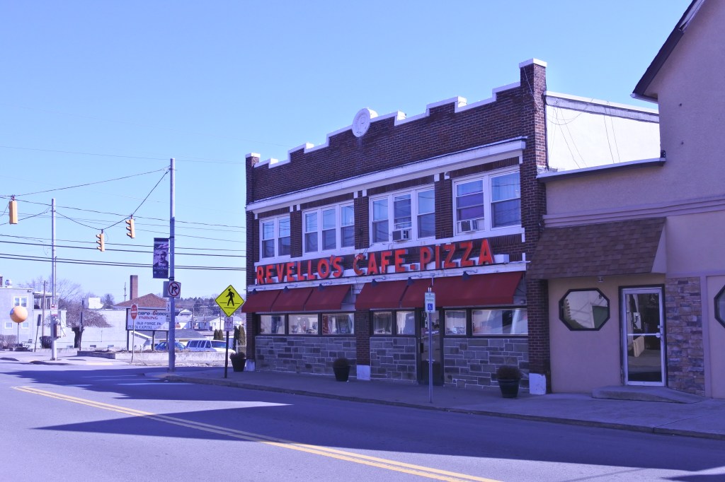
* Decent retail amenities including a supermarket, a couple drug stores, a couple boutiques, antiques, gift stores & banks, a couple book stores, several dessert joints & bakeries, plenty of salons & barber shops, a couple gyms, plenty of churches, and a local public library.
URBAN WEAKNESSES:
* Population density is just under 6K per sq mile which isn’t great for an urban neighborhood but not terrible for an urban town in a metro area.
* So so connection to Dwtn Harrisburg being a 15 min drive and 30 min transit trip. Public transit isn’t great but at least exists.
* Bike infrastructure is non existent.
* Other than a handful of crummy autocentric uses, modern in-fill is non-existent here.
* So so cultural amenities including a handful of restaurants & bars, a couple cafes, a couple small local museums and a local art gallery.