Pittsburgh’s Hill District- the Historic Home of the City’s Black Community and Major American Jazz Mecca

The Hill District sits the east of Downtown stretching to Oakland and arguable contains Pittsburgh most traumatic story of urban renewal. The larger Hill District contains several smaller City designated neighborhoods (i.e. Lower Hill, Crawford-Roberts, Middle Hill, Bedford Dwellings, & Terrace Village). The Hill District was first settled in the 19th century by a small middle-class free black community. By the turn of the 20th century the neighborhood was booming as the Black population expanded from 10K to 37K between 1890-1920 as part of the Great Migration. Immigrants from Italy, the Middle Eastern, and Eastern European Jews were also pouring  into the neighborhood. The influx of so many new residents resulted in a housing shortage which was exacerbated by the rigid system of segregation that limited potential dwellings for blacks almost entirely to the Hill District. By the 1920s the “the Hill” was the cultural center of Black life in the City and a major center of jazz helping to propel Pittsburgh as one of the best City’s for jazz historically. In the summer of 1956, some 1,300 structures were razed, displacing 1,500 families (more than 8000 residents). But, the affects of urban renewal didn’t stop at the Lower Hill District as it severed the Hill District from surrounding neighborhoods, resulting in its dramatic economic decline. Jobs in Pittsburgh also were disappearing due to industrial restructuring, and numerous middle-class residents moved out to newer suburban housing. Between 1950 and 1990, the Hill lost 71% of its residents (more than 38,000 individuals) and about 400 businesses. Many people displaced from the Hill moved into the East Liberty and Homewood-Brushton neighborhoods creating a ripple effect,  where mostly white middle-class families left these areas and moved to newer suburban housing. The Hill district also saw numerous project housing developments demolish other parts of the neighborhood, which also lead to major concentrations of poverty. In the present day about 1/3 of all Hill Residents live in poverty.

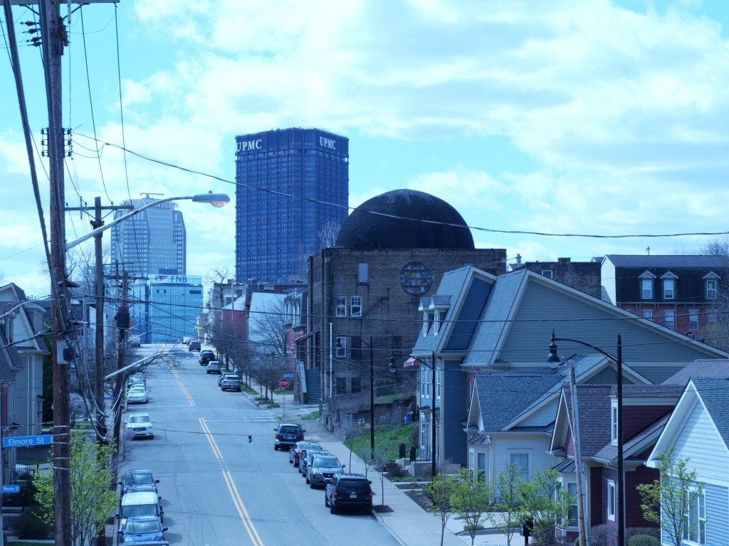
But even with all this disinvestment, the Hill District still retains decent urbanity and urban form, almost enough in its present form to be considered a viable neighborhood. It’s mazing to think that a neighborhood that used to host 50K now only has 10K. Urban strengths of the Hill District include excellent public transit service, convenient access to Pittsburgh’s largest job concentrations (Dwtn & Oakland), several walkable schools, relatively affordable housing, excellent park access, good sidewalk infrastructure, and good remaining historic architecture. There have been several revitalization efforts in the Hill District starting with the suburban homes built in the 70s, the more urban Crawford Square development in the early 2000s, and present day efforts including the Granada Theater redevelopment, several small-medium scale projects, and the slow moving but massive Lower Hill Redevelopment. The issue is that redevelopment efforts have moved much slower than the pace of neglect and abandonment and each decade the neighborhood looses more buildings and homes than it gains.  There still remains so much potential to create an outstanding urban community in the Hill District. Hopefully the Lower Hill Development sparks more comprehensive efforts to repopulate the neighborhood.

Click here to view my Hill District Album on Flickr

URBAN STRENGTHS:

  • Lots of households with Children living here along with college students in the Upper Hill section of the neighborhood.
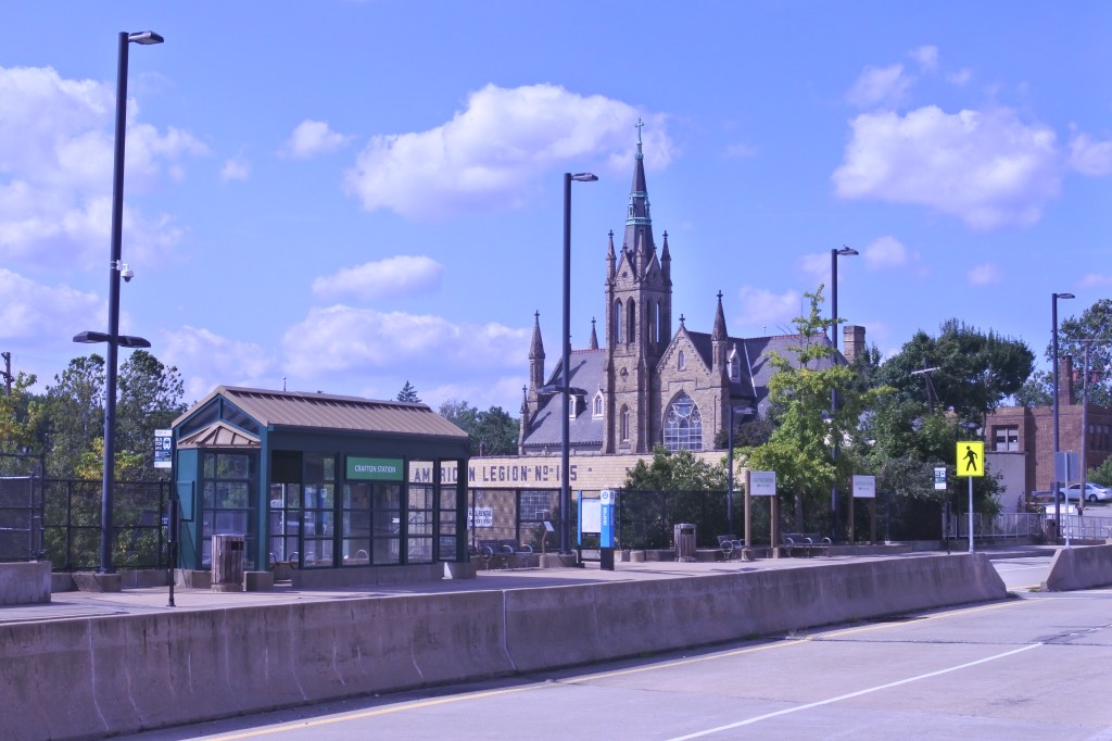
  • Solid public transit access with lots of bus lines running through the neighborhood.
  • Several decent elementary schools within the Hill District and several others in neighborhood Oakland including an Excellent Science & Technology School, a poorly rated public hsg and a couple Catholic elementary schools.
  • A decent # of rentals and generally affordable. 1-beds lease btwn 800-1.3K, 2-beds lease in the low 1Ks, 3-beds lease anywhere from 1K-3K with higher rents in the Upper Hill. Lots of affordable housing rentals across several large projects.
  • Good park amenities including several small, medium parks well distributed throughout the neighborhood. The Francie Pace Park is a new additional covering the crosstown high and Kennard Playground is an extensive park with lots of sports fields. Also a YMCA.
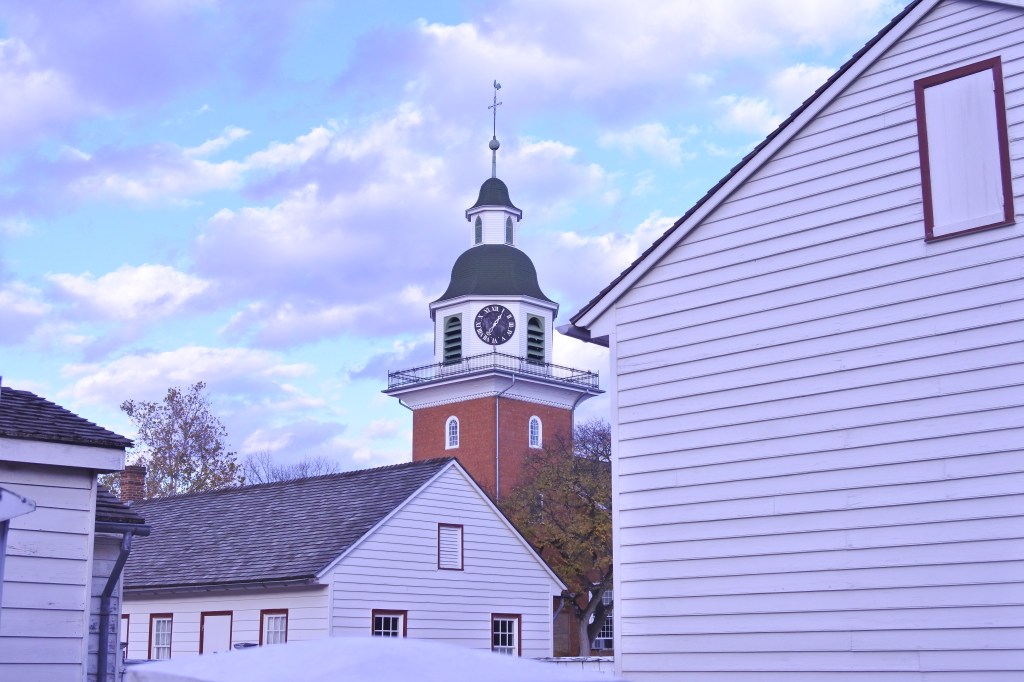
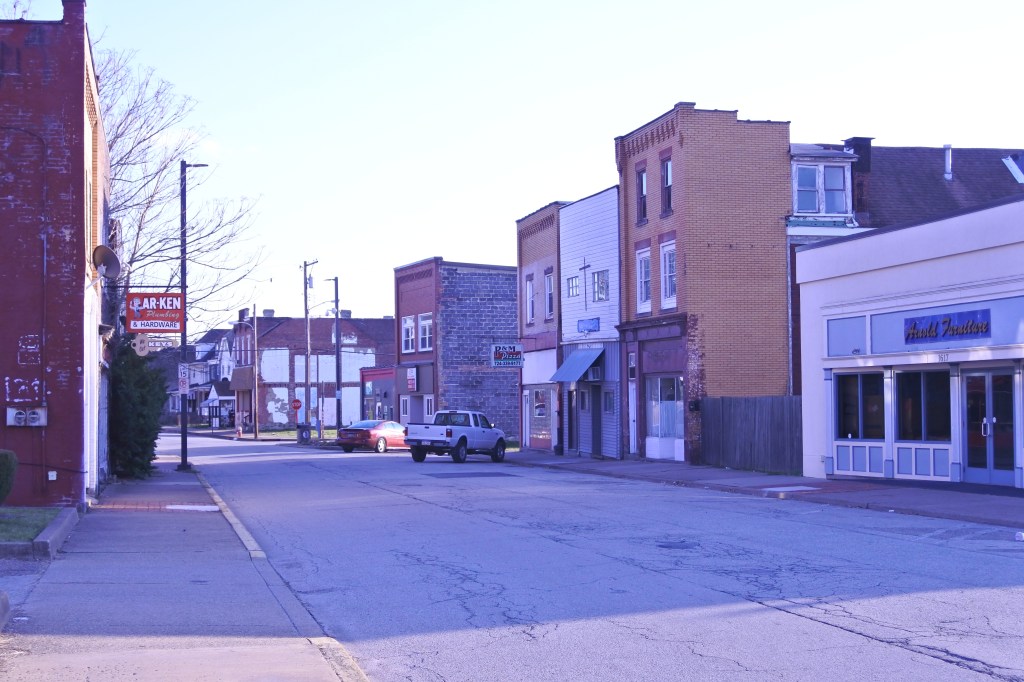
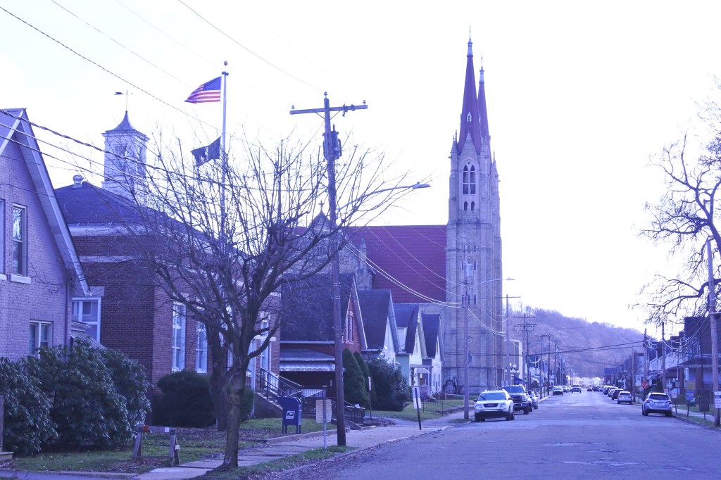
  • Still a lot of quality historic architecture remain in the Hill.
  • Sidewalks are pretty consistent in the Hill and ADA standard curb cuts are on about half of the intersections.”

URBAN WEAKNESSES:

* No dedicated bike lanes in the Hill District but several bike share stations.
* Largely an African American neighborhood (~70-75%)  but some diversity especially in the Upper hill closest to Oakland with a large Asian population. Whites and Hispanics are slowly moving here as well.
* Very high poverty rate with 1/3 of residents living in it. Some income diversity but most households here are low-moderate income.
* For sale is pretty limited with a major divided between the bottom and top of the market of new and renovated homes. Most hsg is concentrated in Crawford Roberts and the Upper Hill. 2-bed sells btwn 40K-300K with renovation product starting the push the market a bit. 3 & 4 beds sell btwn 50K-500K.
* Cultural amenities are limited to a couple restaurants, a cafe, a local performing arts center, small dance company, an art gallery, a couple bars, the August Wilson House & Tennie Harris Center and decent access to all cultural amenities of Dwtn & Oakland.
* Retail amenities are pretty limited too but there is a supermarket, a public library, post office, a community drug store, a couple boutiques, several salons, a couple banks, tons of churches, a couple medical offices, and several hospitals surround the Hill District in adjacent communities.
* The Hill District is safer than it used to be but still has some crime issues and lot of remaining blight.
* Much of the in-fill is ugly suburban in-fill but more recent projects are pretty high quality urban projects.
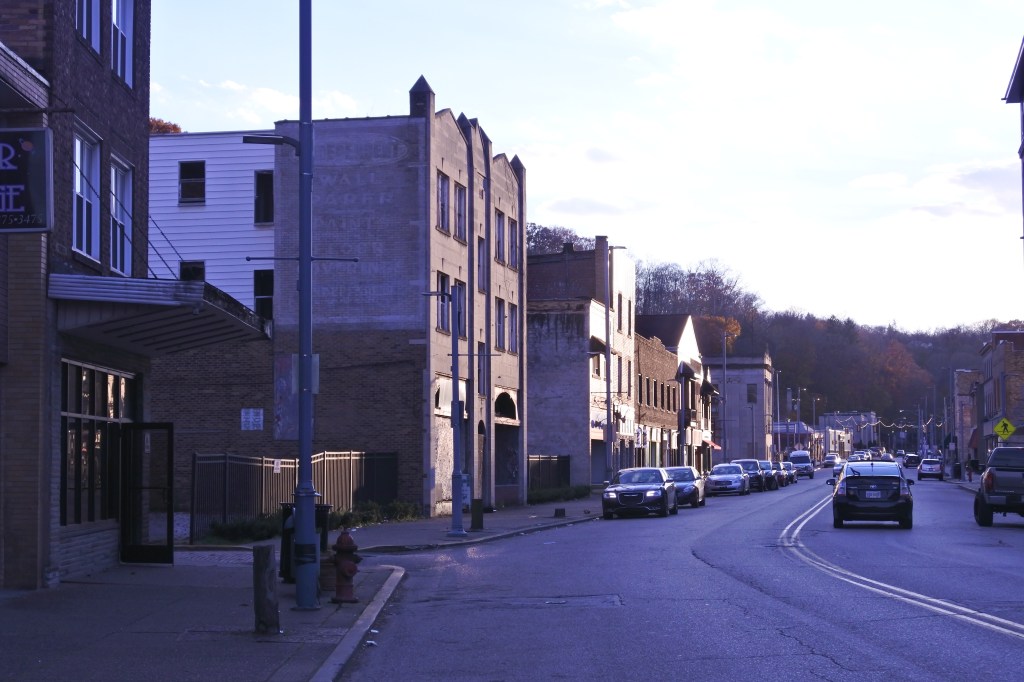
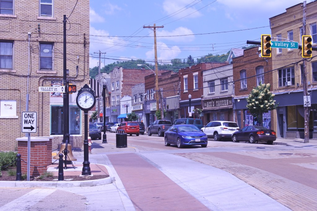
* What remains of the Centre avenue business district generally has good urban form but lots of missing pieces. Streetscaping is pretty good.
* Wylie Ave was a secondary biz district but this is always all wiped away.

Ambridge, PA- originally an early 19th century Harmony Society Settlement, transformed into a Pittsburgh rivertown in the early 20th century

The Harmony Society first settled the area in the early 19th century, founding the village of “Ökonomie” or Economy in 1824. Although initially successful, accumulating significant landholdings, the sect went into decline. By the end of the 19th century, only a few Harmonists remained. Today, the site is a historic district under the “Preserve American Community” status and seventeen buildings have been carefully restored structures to what they would look like between 1824 and 1830. Plenty of other historic buildings from the Harmony Society build in the mid-late 19th century still stand as well.  The Harmony Society sold its vast real estate holdings in the late 19th century mostly to the American Bridge Company, who subsequently enlarged the town and incorporated it as Ambridge in 1905. Naturally being within the Pittsburgh orbit steel mills were built along the river and Ambridge witnessed a population boom fueled by  eastern and southern European immigrants. Ambridge became known for bridge building, metal molding, and the manufacture of tubes. Yet like most rivertowns around Pittsburgh, Ambridge has lost a significant amount of its peak population of 20K in 1930. Surprisingly Ambridge began seeing large population drops even before the 1960s as it lost almost all of its population by 1970. In recent decades population declines have slowed and Ambridge now hosts just below 7K. Somehow with a 65% population loss  Ambridge still retains most of its buildings and urban fabric. Most recently the Borough has seen an influx of Hispanic residents taking advantage of the community’s low housing costs.

Ambridge really has three separate business: Lower Merchant, which was developed around the turn of the 20th century, upper Merchant which contains many early to mid 19th century buildings that were part of Old Economy Village and a couple blocks of Duss Avenue in the Northeast quadrant of the Borough. Upper Merchant is the most stable of the 3 businesses district thanks to the tourism from Economy Village but Lower Merchant still hosts a good number of business given its sheer size. Duss Avenue has several restaurants, bars, and a couple dessert joints. There are really not any abandonded residential parts of Ambridge. Its either stable or gritty depending on the block. Hopefully Ambridge continues to attract Hispanic immigrants as that will go a long way to filling the many vacant store fronts along Lower Merchant. The Borough could also use more parks, better tree canopy, and a couple bike lanes. This is an urban community with good bones that could be a great river town with the right investment and population attraction.

Click here to view my Ambridge, PA album on Flickr

URBAN STRENGTHS:

* Large and mostly intact business district along Merchant St, although a decent amount of vacancy here.
* Recent streetscaping improvements that includes making all intersection ADA compliant. About 50% of intersections on residential streets are ADA compliant.
* Solid connectivity and grid throughout most of the Borough.
* More of a working class town but decent economic diversity.
* Good # of 1, 2, & 3 beds. Very affordable rents.
* For sale housing is also very affordable with some 1-beds selling btwn 50K-120K, 2-beds btwn 50K-185K, 3 & 4 beds sell btwn 50K-200K.
* Decent cultural amenities including lots of restaurants, bars, & cafes. Also several breweries, a local theater company, and all the Old Economy Village Historic sites.
* Old Economy Village is extensive and preserve some really not early and mid 19th century building. The rest of Ambridge is pretty plain turn of the 19th  century architecture.
* Decent retail amenities including several small groceries, a couple drug stores and dollar stores, a hardware store, several bank branches, a book store, several boutiques and antique shops (mostly by Old Economy Village), a flower shop, several dessert joints, a couple gyms, a historic post office & library, a bike shops, tons of churches, and a handful of medical offices.

URBAN WEAKNESSES:

  • Dwtn is a 40 min drive and public transit is 45 minutes, not bad considering Ambridge is 20 miles away.
  • Decent but not great density. Some with transit access.
  • Bike infrastructure is non-existent.
  • Largely White population but decent Black population and the Hispanic community is growing.
  • Only the high school is located within Ambridge. Good size and decent ratings. Others schools one most drive to in surrounding communities.
  • Really no higher end housing options here. Everything is quite affordable.
  • Walter Panek and Ambridge Park are pretty large and multi-faceted but located on the northeast corner of the Borough and not walkable to most residents. The only other park space are the basketball courts at the high school.
  • Some safety concerns here and grittiness but not much abandonment except along the business districts of Merchant St and Duss Ave).
  • Modern in-fill is largely non-existent other than a handful of auto centric buildings.
  • Tree canopy is so so.”

Aliquippa, PA- Satelite City of Pittsburgh and largest City in Beaver County

Aliquippa is the largest city in Beaver County. The City was formerly the location of a large Native American trading center but was arbitrarily named Aliquippa as one of several Indian names selected by the Pittsburgh and Lake Erie Railroad in 1878 for stations along its route. Aliquippa is best known as the location of a high producing steel mill constructed by Jones and Laughlin Steel Company  in 1905. Employment at the facility maxed out at 27,023 in 1940. The mill closed in 1984 during the collapse of the steel industry. but the City’s population had been declining since its peak in the 1930s (27K). Aliquippa’s population now sits at just 9,000 but fortunately the population decrease is showing signs of slowing as the City only lost 200 people between 2010 and 2020.

Aliquippa used to have a bustling main street along Franklin Avenue with several impressive mid-sized building. To date only a handful of these buildings remain and most commercial activity has moved to the City’s western edge along the auto centric Broad & Sheffield Streets. Aliquippa’s most intact blocks are along the western 1/3 of the City with the most abandonded parts of the City located north and east of Franklin Avenue. Hard to know where to start with revitalizing Aliquippa given the lack of economic opportunities in the City and larger Beaver County area. Stabilizing the blight is likely step 1, which seems to be happening somewhat with the City’s slowed population decline. Stabilizing the remaining historic buildings on Franklin Ave is certainly crucial to bringing back vitality here. I would also like to seem some urban design improvements to the very auto centric Broad and Sheffield Streets. Broad needs sidewalks and buildings along Sheffield should be built up to the sidewalk (which exist here). Hispanics seems to be slowly moving to the area. Immigration should certainly be encouraged as it is the best path to revitalizing the City.

Click here to view my Aliquippa, PA album on Flickr

URBAN STRENGTHS:

  • Some decent park space including several sports fields, a playground, and cemetery.* Good tree canopy thanks to all the hillsides and vacant lots. Street trees are hit or missing on residential streets.
  • Good racial diversity as 1/2 the population is White, 1/3 Black and 3% Hispanic.
  • Some retail amenities but focused on autocentric Broad & Sheffield. This includes an Aldi’s, a couple dollar generals, a couple drug stores, several banks, a couple boutiques and salons, plenty of churches, and a handful of medical offices. Still a public library, historic post office, and pharmacy along Franklin Ave.

URBAN WEAKNESSES:

* Broad, the biz district along the western edge of Aliquippa, is very auto centric and lacks sidewalks.
* Poor density for an urban area thanks to the hilly terrain and many abandonded parts of the City.
* ADA appropriate infrastructure is limited to just the historic Business Core on Franklin Ave.
* Located about 30 miles from Dwtn Pittsburgh. Commuting by car isn’t terrible (40 mins) but you are located at 1 hr-1.5 hrs. by bus. Biking is not really a viable option.
* No bike infrastructure.
* Poverty is widespread here including about 1/3 of the residents and medium income is only 37K. Some higher incomes though.
* Population is aging and is 6 years above the PA median age which is already very high.
* A good number of schools in Aliquippa but most are poorly rated or small private schools.
* Housing is very cheap in Aliquippa and the rougher parts of the City especially east and north of Franklin Ave have few homes selling more than 50K. For sale housing in the more stable parts of Aliquippa range anywhere from 50K-200K depending on size & condition.
* Rentals are generally limited to 3 & 4 bedroom units but are pretty affordable.
* Cultural amenities limited to a handful of restaurants (many of them fast food along Broad & Sheffield) and bars.
*  Lots of blight and abandonment but doesn’t appear that Aliquippa has a terrible crime problem.

Crafton, PA- an Inner Ring Pittsburgh Suburb located along the West Busway

I included all of Crafton with the exception of a small part of the Idlewood neighborhood in the southwestern part of the Borough. Crafton is named after James  Craft, a frontier attorney who was granted land near the “forks of the Ohio” in present-day Oakland. His son divided up the track of land that became modern day Crafton and the town was incorporated as a Borough in 1892 and soon after linked to downtown Pittsburgh by trolley in 1896. Crafton had a population of 2K in 1900 and quickly grew in the early 20th century reaching 7K souls in 1940 and peaking at 8,400 in 1960. Population has shrunk modestly since then bottoming out at 6K in 2010 but the borough saw a small population gain between 2010-2020 and now sits at just above 6K people.

Crafton has managed to stay in-tact especially in its residential areas and has limited blight. Housing prices are pretty health with many homes selling in the 200ks & 300Ks. Crafton also has excellent access to Dwtn Pittsburgh with a 10-15 minute drive or trip on the bus way, which runs right through Dwtn. The Borough has also done an excellent job replacing curbs with modern ADA standards, has good park amenities and decent retail stores. What Crafton needs most to become a better urban area is the redevelopment and occupancy of its historic downtown area. There are many vacant retail spaces and surface parking lots that could easily be redeveloped with quality mixed-use infill given their close proximity to the West Busway. Crafton also needs better bike infrastructure, more 1-bed apartments, better racial diversity and more cultural amenities. Several new restaurants and breweries would go a long way towards sprucing up the Downtown area. New dwtn streetscaping would also greatly enliven dwtn. I would also love to see the Crafton Ingram Shopping Center, a strip mall equipped with a massive parking lot, redeveloped as a mixed-use urban shopping center. But I don’t see that happening any time soon!

Click here to view my Crafton, PA album on my Flickr page

URBAN STRENGTHS:

* Generally most intersections across the Borough have ADA compliant curb cuts. Some streets on the edges of the Borough don’t have sidewalks.
* Lots of attractive brick streets and a good mix of large and medium sized historic homes.
* Solid public transit thanks mostly to the busway stop.
 * Convenient access to Dwtn with only a 10-15 minute commute via public transit and driving. Driving to Oakland is about 20 mins but transit access is about 45 minutes.
* Excellent economic diversity with the medium household income tracking the state medium and good representation among all economic classes.
* Overall a safe community with limited blight.
* Tree canopy is generally good in the residential areas but sparse in the Dwtn area.
* Not many 1-beds but plenty of 2-beds that lease btwn 900-1.3K. Some 3-beds as well the lease in the mid-high 1ks.
* Very good for-sale housing diversity except for 1-bed condos. Good # of 2-beds that sell anywhere btwn 50K-300, 3 & 4 beds sell between 80K-350K.
* Good park amenities including the Crafton Creekside Trail running along Chartiers Creek and several medium sized parks, a couple of parkettes, along with an outdoor City pool.
* Decent retail amenities but much of them are located in the awful Crafton Ingram Shopping Center. Retail includes a supermarket, drug store, a busy beaver hardware store, a couple family dollars & drug stores, a handful of clothing and furniture stores, several salons & barber shops, a couple dessert spots and gyms, several banks, a local post office & public library, several churches, & a couple of medical offices.

URBAN WEAKNESSES:

* Only a handful of attractive historic commercial buildings.
* Connectivity is out but the grid is very irregular including the Dwtn area.
 * Bike infrastructure is pretty much non-existent.
*Almost 90% White and generational diversity is so so.
* In fill is limited to a massive strip mall on the northern edge of the City and a couple other auto centric uses. No quality urban in-fill.
* Density is so so for an urban area.
* Cultural are lacking for the most part other than some restaurants & bars, and an art school & gallery.
* Only one elementary school is located within the Crafton Borough. All other schools are well rated but a 5 min drive from the Borough.
* A couple decent main street blocks Dwtn but the street grid is very chaotic and plenty of surface parking lots and autocentric uses in the Dwtn. The many shopping area is the Crafton Ingram Shopping Center which hosts a strip mall center by an oversized parking lot.
* Streetscaping is outdated (except for ADA curbs) with pretty narrow sidewalks.

Verona, PA- a curiously named portmanteau along the Allegheny River only 20 minutes from Dwtn Pittsburgh

I included most of Verona in this evaluation except the northern and western edges of the Borough where there is a significant amount of underutilized industrial space. Verona was named by creating a portmanteau of the Verner and Iona railroad stops along the Allegheny Valley Railroad. Like many Pittsburgh river towns Verona was formed along a river with railroad access in the late 19th century. Population reached 2K in 1900 and peaked at 4.4K in 1940. Verona is healthier than many Pittsburgh river towns but has still nearly lost half of its population and currently sites at 2,500 with population appearing to stabilize between 2010 and 2020.

One can see the Borough’s population lost with the numerous vacant lots sprinkled around the residential areas and business districts (Allegheny River Blvd and Railroad Ave). But the Borough has managed to mitigate the damage and a downward blight cycle by maintaining its vacant lots, redeveloping some for parks, and retaining a relatively cohesive urban fabric and population density. Verona also has good retail and food & beverage occupancy in its dwtn, good schools, decent parks & tree canopy, and affordable housing. Hopefully with Verona’s population stabilizing since 2010 and its quality amenities and relatively low crime values will increase enough for new construction filing in its vacant lots and commercial spaces with new homes and mixed-use buildings. I’d also like to see at least one bike lane cut across down, more cultural amenities & nightlife, more ADA compliant curbs, and more housing diversity. 

Click here to view my Verona Album on Flickr

URBAN STRENGTHS:

* Good access to dwtn via driving (only 20 mins) but transit and biking is only so so.
* Pretty good income diversity but mostly working class households.
* Several average or good schools within Verona or in neighboring Oakmont.
* Rentals are pretty limited but affordable.
* Decent park amenities including two medium sized parks and a solid Dwtn park (Railroad Park).
* Solid tree canopy throughout.
* Decent but not great cultural amenities limited to a decent amount of food & beverage businesses.
* Pretty good retail stores including a supermarket, drug store, music store, a furniture store, a couple boutiques/clothing stores, a hardware store, several gyms & salons, a bike shop,  a couple banks, a dollar store, and several churches.
* A couple good urban blocks along Allegheny River Blvd and Railroad Ave but also plenty of surface parking lots and vacant lots. Streetscaping is pretty good though.

URBAN WEAKNESSES:

  • Decent amount of blight in Verona especially the small neighborhood along the river where many homes have actually been removed.
  • ADA compliant curbs are often missing. Missing sidewalks along the eastern edge of Verona and the streets along the river.
  • Pretty mediocre public transit access.
  • Bike Infrastructure is non-existent.
  • Not much for sale housing diversity but affordable. 2-beds sell btwn 50K-200K, 2 & 4 beds sell btwn 50K-250K. A handful of newer homes that sell in the mid-300Ks.
  • Not much modern in-fill and what does exist is either strip malls or industrial uses.”

Stowe Township, a rare urban township on Pittsburgh’s Westside

I only evaluated the portion of Stowe Township between Benwood Ave/McCoy Rd town to the Twp’s southern border mostly abutting McKees Rocks.

Stowe Township is a rarity as it is one of the few Townships in Pennsylvania with a historic main street and extensive pre WWII residential areas. The historic part of Stowe is very tied to the fate of McKees Rock its neighbor to the east and south. Both municipalities share a school district and the blight of McKees Rock has certainly spread to Stowe Township. But Stowe is more intact and has lost less population. Its business district along Broadway is surprisingly still in tact and hosts a good array of restaurants, bars and even a Historic Movie Theater and Brewery.  The Business District along Broadway got a major facelift in 1983 with a comprehensive streetscaping redo but little has changed since.

Stowe Township’s best chance for revitalization and an active Business District is immigration. Already there are signs of this occurring with a new African restaurant and grocery store open along Broadway. Immigration would help fill up the vacant homes and retail spaces before too much vacancy brings the community down and tips the community into a death spiral of blight. Given its convenient access to Dwtn Pittsburgh (12 minutes by car and 20 by bus), I’m hopefully that Stowe Township will stabilize and improve.

Click here to view my Stowe Township Album on Flickr

URBAN STRENGTHS:

* Solid urban density. 
* Great access to Dwtn as it is a 12 min drive and 20 minute bus ride. The frequency of service, however, is so so.
* Generally good connectivity with a strong street grid but this gets broken up at times with the hills and hollers.
* Decent racial diversity with a large Black population of about 20% -30% of the population.
* Good amount of families here.
* Decent cultural amenities including a brewery, several restaurants, a local movie theater, and a handful of bars.
* Historic Commercial District is relatively in tact. Gets a bit spotty along Broadway closer to McKeesport.
* Streetscaping was redone in the early 80s. Feels dated but still largely holding up.

URBAN WEAKNESSES:

* Decent sidewalk coverage but ADA ramps are pretty spotty. Some newer or hiller streets without sidewalks.
* No bike infrastructure to speak of.
* Economically Stowe is mostly low-moderate income. It has a very working class feel.
* Schools are limited to  a poorly rated public high school and a Catholic grad school.
 * Not a lot of housing diversity and housing is very affordable. A handful of 1-beds that sell around 70K. 2-beds sell anywhere btwn 50K-150. 3 & 4 beds sell btwn 70K-200K.
* Parks are limited to Norwood Park (a small park with a playground and ballcourt) and a Jewish cemetery just over the line in McKees Rocks.
* Tree canopy is limited in most of the evaluation area but lots of trees on the edges on the hillsides.
* Missing important retail amenities such as supermarkets, drug stores, banks,  boutiques, a public library & post office, and any medical offices. Retail amenities that do exist include a bakery, a couple clothing stores and gift stores, a couple salons and several churches.
* Historic Commercial Architecture is ok but historic residential while plentiful is pretty low quality.
* Modern in-fill largely doesn’t existing in Stowe.

Arnold, PA- a distressed Allegheny River town with good urban bones and neighbor to New Kensington

The land on which Arnold currently stands was purchased in 1781 but it wasn’t developed until the late 1800s. Arnold was originally part of the City of New Kensington from 1891 until 1896 until it incorporated as a separate borough. The portion of Arnold btwn the river and Constitution Blvd is the oldest and most distressed portion of the borough. East of Constitution development ranges between 1900-1940s and generally is more stable. Arnold maxed out at around 11K residents in 1940 and has since fallen to just under 5K.

5th Avenue is the historic business district for Arnold but has fallen on pretty hard times with only a handful of businesses still open and a good number of vacant lots and vacant storefronts. I don’t see much hope for a population reversals in Arnold unless the City embraces immigrants. There is a sliver of hope for this as 4% of the population is Hispanic. A more attainable and likely strategy for Arnold is to spend its efforts revitalizing its 5th Avenue core, removing blight and stabilizing the old part of town, and reinvesting in the newer portion of town between Constitution and Freeport to build on existing market strengths. Arnold has decent density and mixed-use fabric giving me some hope that it could become a decent urban environment once again. There are also some good revitalization efforts occurring along the main street of its neighbor, New Kensington.

Click here to view my Arnold album on Flickr

URBAN STRENGTHS

* Good street connectivity.
* Good racial diversity and decent generational.
* Few 1-beds but good # of 2 & 3 beds that range btwn $800-$1,000.
* While public transit is limited dwtn is only a 25-30 minute drive.
* Decent urban density and good urban bones.

URBAN WEAKNESSES:

* Sidewalk infrastructure is generally good but very few ADA standard curb cuts.
* Poor public transit access.
* No biking infrastructure to speak of.
* Wide spread poverty and not a lot of income diversity in Arnold.
* A couple of schools in the core of Arnold but poorly rate. Decent elementary school on the eastern edge of town.
* Arnold has a pretty high crime rate and a lot of blight to accompany it.
*Lots of depressed hsg in Arnold selling below 60K but some well maintained product too selling in the 100Ks.  2-beds sell btwn 20K-150K, 3 & 4 beds sell anywhere btwn 35K-185K.
* Okay park amenities including a decent river park, a playground and the cemetery.
* Limited cultural amenities including a handful of restaurants & bars, and a couple cafes. Better cultural amenities in New Kensington which is within 1 mile.
* Retail amenities are also limited including a couple banks, a furniture store, a couple boutiques, a couple gyms & dessert joints, a post office, and lots of churches.

Freeport, PA- an Allegheny Rivertown built on free port access

I included only the cohesive urban portion of Freeport in this evaluation. Freeport was first settled in the 1760s. The town received its name when David Todd declared the town to be a free and open port allowing boats to tie up along the river free of charge. Freeport’s position on the Allegheny river gave it an ideal spot for industry and trade going to Pittsburgh. This lead to the creation of several industrials throughout the 19th century including the Lucesco Oil Refinery and the Freeport Brick Company. Even for a Western PA river towns, freeport is quite small sitting at just 1,700 people. Its seen plenty of decline since its peak likely around 1930 but has done a decent job managing the decline with few vacant homes left standing. There is a 2-block commercial district along 5th street with some stores and food & beverage businesses with a decent sense of space. This is only a couple blocks away from a nice river front park. Surprisingly a decent # of homes selling in the 200Ks in Freeport and the town boasts good park amenities and good sidewalk and ADA curb infrastructure.

I don’t see much hope for a population reversal in Freeport so the most attainable positive urban impact would be revitalizing 5th Street’s many vacant storefronts and building up the popularity of the town. Freeport could encourage more immigration to at least stabilize its population as well.

Click here to view my Freeport album on Flickr

URBAN STRENGTHS:

* Decent sidewalks with about half of the curbs up to modern ADA standards.
* Great economic diversity and decent generational.
* While Freeport has some blight it is a very safe community.
* Decent for sale diversity. Really no 1-beds available. 2-beds sell anywhere btwn 60K-120. 3 & 4 bed sell btwn 30K-300K, with a good number of well invested homes selling in the 200Ks.
* Good park amenities including an attractive riverside park, the expansive Freeport Community Park, the Market Street Park.
* Decent urban massing.

URBAN WEAKNESSES:

* Pretty low density for an urban area.
* Public transit is extremely limited in Freeport.
* While no transit exist, Freeport is only 30 min drive to downtown Pittsburgh.
* No bike infrastructure to speak of.
* Limited racial diversity as 95% of the population is white.
* Only the public middle school is open and in town.
* Very limited rentals, at least listed on Zillow. Very affordable however.
* Some cultural amenities including a decent amount of food & beverage bizs, a brewery, and a community theater.
* Retail amenities are limited to a family dollar, a couple boutiques & gift shops, a couple dessert joints, a gym, an antiques store, a couple banks, a doctor’s office, a local library and post office, and  several churches.
* Really no infill architecture to speak of.

Ford City, PA- a Company Town Originally built by PPG Industries

Ford City was founded in 1887 as a company town by the Pittsburgh Plate Glass Company (now PPG Industries) as the site for its Works No. 3 glass factory. The town was named in honor of the company founder, John Baptiste Ford. In its heyday the factory employed as many as 5,000 workers. The PPG plant shut down 1990s and another large employer, Eljer Plumbing, shut down in 2008. Like most Western PA towns, Ford City’s population peaked in 1930 at 6,000 residents and has been in a steady decline ever since and now stands at just under 3,000 residents. Ford City has done a good job managing its decline quickly demolishing abandoned homes and allowing neighborhoods to purchase them for expanded yards. Most of the vacancies are empty storefronts.

From an urban perspective Ford City does well with well maintained sidewalks and updated ADA curb cuts, quality walkable schools, a wonderful street grid, good distribution of parks, high levels of safety, and decent retail amenities. I don’t see much hope for a population reversal, so the most biggest positive urban impact would be revitalizing Dwtn’s many vacant storefronts and building up the vibe in the town.

Click here to view my Ford City album on Flickr

URBAN STRENGTHS:

* Good sidewalk infrastructure and most intersections have up to date ADA curbs.
* Highly connected and efficient street grid.
* Nice recreational trail running along the river.
* Decent generational diversity.
* Well rated middle/high school along with a Catholic grade school within Ford City. Elementary school is just outside of Ford City.
* A couple buildings dedicated to affordable rentals.
* Several small-medium sized parks well distributed throughout Ford City.
* Decent retail amenities including a supermarket, a couple drug store, a couple dollar generals, several banks, lots of salons, a Hallmark store, a couple dessert/bakeries, a gym, several medical offices and churches, and a public library & post office.
* Pretty safe community and not a lot of blight here other than vacant store fronts.
* Some nice historic architecture, esp. in the business district, but homes are generally rather plain.
* Good streetscaping done on Ford St maybe 30 years ago. Other commercial streets are pretty dated.

URBAN WEAKNESSES:

* Density is so so and pretty low for a urban area.
* Very limited public transit access.
* 45 minute drive to Dwtn Pittsburgh. No feasible public transit options.
* Largely a White City with a small Black and likely growing Hispanic population.
* Not much for sale diversity as housing stock is generally very affordable. 1 beds very limited. 2-beds sell btwn 50K-90K,3 & 4 beds sell btwn 50K-150K.
* Rentals are very limited but affordable.
* Cultural amenities are limited to some restaurants, bars & cafes.
* In-fill is limited to a couple decent mixed-use and apt bldgs in the center of town.
* Pedestrian traffic is pretty limited.

Kittanning, PA- Historic Native American Village and Home to the Armstrong County Seat

I included most of urban Kittanning except the portion east of Victory St as this part of Kittanning felt pretty disconnected from the center of town.  Kittanning was founded on the site of the eighteenth-century Lenape village of Kittanning at the western end of the Kittanning Path, an ancient Native American path. Sadly during the French and Indian War the village was destroyed at the Battle of Kittanning. The borough was settled by European Americans mostly  after the American Revolutionary War. By the early 20th century, the City had developed considerable industry similar to manufacturing across the Pittsburgh region. Kittanning reached its peak on 1930 at 7,800 and has been on a slow decline since hosting around 4,000 residents. Its important to note that Kittanning was one of the largest cities along the Allegheny River east of Pittsburgh through the 19th century reaching 1,700 souls during the Civil War and 4,000 in 1900.

Thanks to its designation as the County seat of Armstrong County, Kittanning has a historically expansive business district focused on Market Street but stretching several blocks to the south and a couple blocks to the north. Market street connects the riverfront and County Court House and jail creating a pretty striking visual. To the north of Market street are several blocks of attractive mid-late 19th century architecture and along the river is an expensive well designed riverfront park. Market street still retains most of its form but vacancies are quite prolific. The business district south of Market St is mixed-bag hosting many parking lots, auto centric uses, and underutilized buildings. Many walkable business and a solid public middle and high school still remain in the center city. While I’d love to see the borough’s population increase a more realistic goal for this Western PA town is strong investments in Market Street to eliminate blight, open new businesses, and create a better vibe for the town. Kittanning biggest challenge is its aging population (average age is 50 years old). This does not bode well for stabilizing the city’s population. 

Click here to view my Kittanning Album on Flickr

URBAN STRENGTHS:

* Solid ADA and sidewalk infrastructure esp. in the core of the Kitanning.
* Nice recreational trail that cuts through the length of Kittanning. Limited bike infrastructure otherwise.
* Excellent gridded and connected streets.
* Good walkable high school and middle school but not much else
* Lengthy and well designed riverfront park in Kittanning. Also a good playground and an YMCA with an indoor pool.
* Good retail amenities including a supermarket, family dollar, a couple pharmacies, several banks, several clothing & consignment stores, a furniture store, a hardware store, several salons, a couple gyms, a local public library & post office, lots of churches, a couple doctor’s offices and the general hospital is a couple miles away.
* Solid imageability with a the courthouse centrally located at the end of the main business district that connects to the riverfront.
* Some excellent historic architecture esp. in the center of town.
* Lots of dedicated senior and affordable housing here.
* Good urban form and streetscaping along Market St.
* Impressive size to Kittanning’s mixed use area.

URBAN WEAKNESSES:

* Pretty low density for an urban area. 
* Transit access is very limited here.
* Aging population with the median age of 50 years old and not a lot of family households w/ kids.
* Very White population with limited racial diversity.
* Economic diversity not great either.
* Decent # of rentals, esp. 1-beds but all very affordable.
* Not much for sale diversity as housing stock is generally very affordable. 1 beds very limited. 2-beds sell btwn 50K-200K,3 & 4 beds sell btwn 50K-230K.
* Okay cultural amenities including a decent # of restaurants, a couple cafes, and several bars. a couple bars that do live music, a couple local museums, and a bowling alley.
* Some crime here and certainly blight but not an unsafe community by any means.
* Good amount of auto centric modern infill on the south end of town but also some decent urban in-fill sprinkled in throughout.
* Urban form and streetscaping of commercial south of Market St is hit or miss.