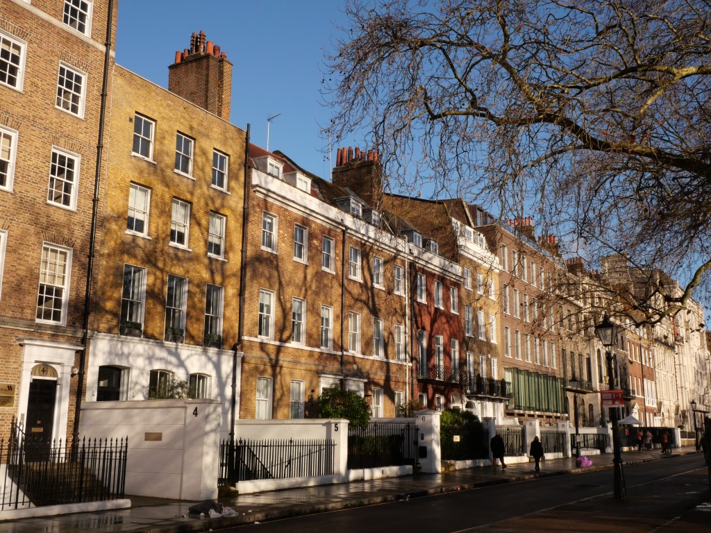
Development began in Marylebone in the early 18th century as the Dukes of the Portland Family, realizing the need for fashionable housing north of the Oxford St (near Oxford Circus) created Cavendish Square within a rational grid system of streets and laid down high end terraced housing of the era. Marylebone developed slowly moving from its southeastern corner (Oxford Circus) with much more ornate stone & terra cotta terraced homes to more modest bricked terraces and rowhouses moving northwest to Regent’s Canal and filling in by the mid-19th century with the Lisson Grove subdistrict being the last area to develop. Much of modern day Marylebone remains owned by aristocratic antecedents who first developed them. Many people of note have lived in Marylebone over the years from Charles Dickens, to J.M.W. turner to the fictional Sherlock Homes Character living at 221 B Baker Street to even Paul McCartney for a brief time.
Present day Marylebone is a bustling and in demand West London District sitting between arguably London’s two best urban parks (Hyde Park & Regent’s Park) and hosting a mix of heavily touristy streets filled with high end shopping (Oxford and Regent St). balanced by many more intimate business districts and mixed-use area. Marylebone also has incredible connection with the London Tube including 8 metro stations and access to 10 subway lines, excellent cultural amenities, and plenty of retail amenities suitable for year round residents as well. The district host a large number of London’s infamous Mew Streets housing more modest rowhouses sitting behind grand terraced housing. My biggest complaint with the district is that many of its wonderful historic squares are private and inaccessible to the general public (likely a vestige of exclusive land covenants) along with limited connected bike lanes.
Click here to view my Album on Flickr
URBAN STRENGTHS:
* Nice mix of upper middle class and more modest middle class terraces ranging from the late 18th century to the early 20th century. Lisson Grove in the NW section of the district is more smaller scale rowhouses with a mix of historic and modern.
* Nice boulevard along Portland while Marylebone Rd (while technically a Blvd) feels more like a Stroad.
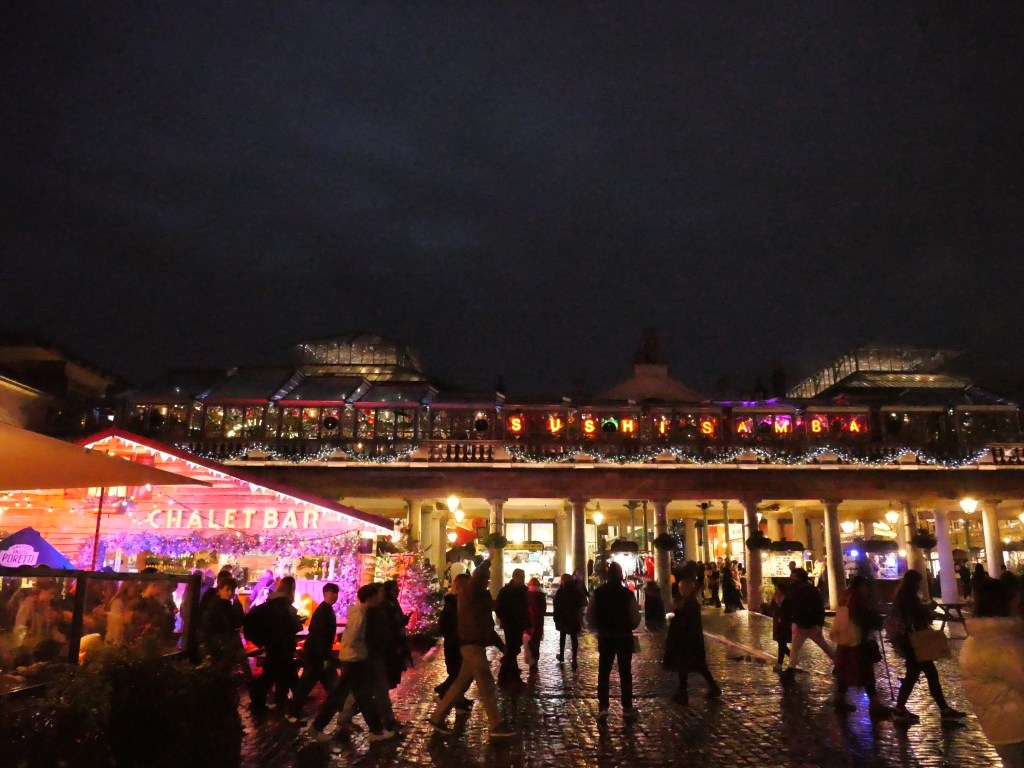
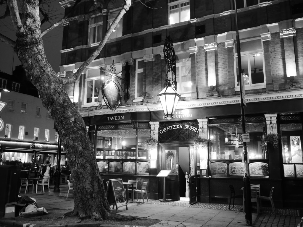
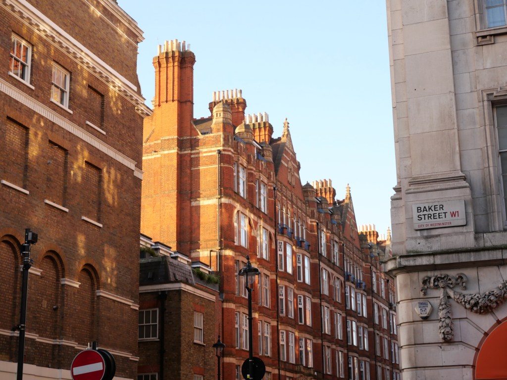
* Oxford St is London’s most famous shopping district. This is on the Southern edge of the district. Regent St is a great shopping street as well. More continental historic architecture. Other business commercial district run along Edgware Rd, Baker St. But I prefer the more intimate biz districts running along Thayer/Marylebone High St, James St., Wigmore St., and Paddington St/Crawford St.
* Significant amount of mix uses areas outside of these commercial streets which a bar/restaurant or retail use will occupancy the corner of a residential street.
* Lots of interesting Mew Streets which is a row or courtyard of stables and carriage houses with living quarters above them, built behind large city houses typically in affluent neighborhoods.
* Lots of great historic square with grand terraces and flats around them (Portman Sq., Manchester Sq., Montagu Square, Montagu, Bryanston, Paddington Street Gardens, Park Square, and Dorset Square) but many of them are sadly private. Great access to large park space as Marylebone is located between both Hyde Park and Regent’s Park.
* Excellent access to public transit including 8 metro stations and 10 subway lines.
* Great cultural amenities including a ton of restaurants, bars & cafes, several indie theaters, a couple performing art theaters, and several smaller museums.
* Solid retail amenities thanks to a concentration of clothing and department stores running along Oxford St. and wonderful concentration of high end boutiques along Marylebone. Also plenty of bakeries, supermarkets and other standard amenities.
* Solid density at around 31K residents per square mile which is slightly above average for central London. But the district feels much more vibrant than this due to its large day time population.
URBAN WEAKNESSES:
- Tree canopy isn’t great but better than most London Inner city districts due to all the small squares and newer apartments in Lisson Grove that have a decent amount of open space.
- Bike lane infrastructure is limited to a couple of small disconnected segments.
- Can get crowded and touristy in spots.