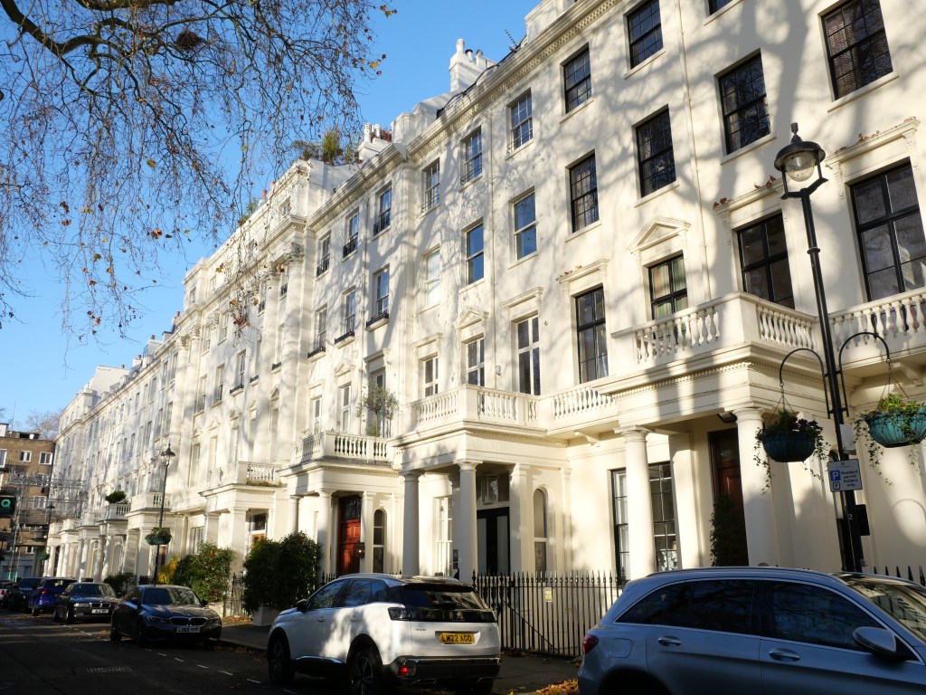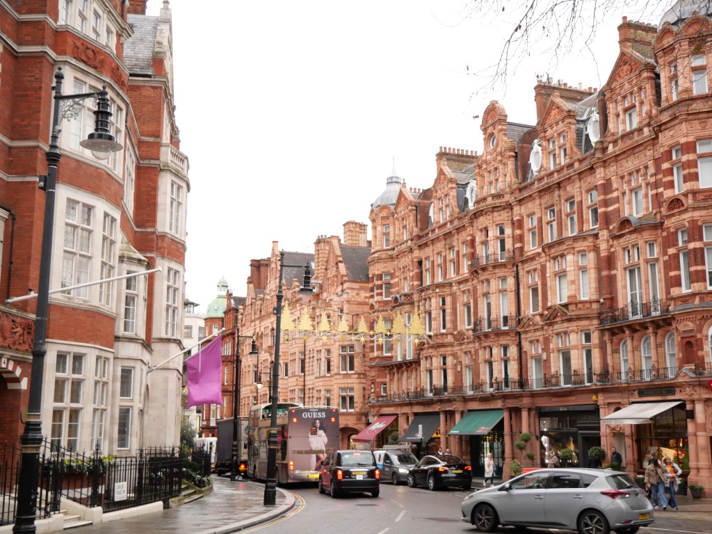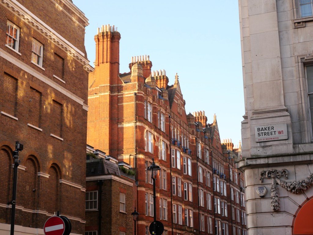
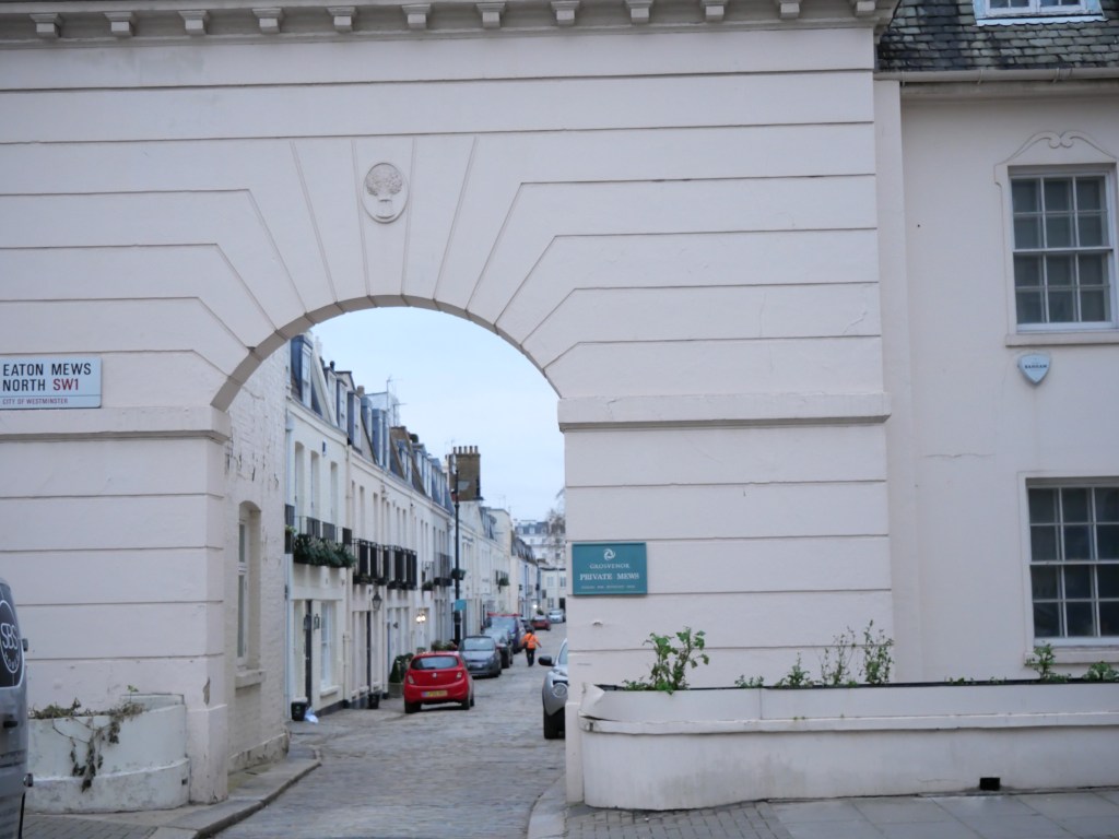
Belgravia was developed in the first half of the 19th century largely by London’s well known developer Richard Grosvenor. He built in the popular West London style of surrounding small parks (aka Squares) by creamed color stucco grand terraced housing. But the district retains a nice mixture of 19th century styles including the colorful and cozy Mew houses, stunning neo Gothic Architecture and a good mix of several other late 19th century styles. Much of Belgravia to this day is owned by the Grosvenor Estate and other than its border with Victoria Station to the east and Knightsbridge road to the north, the neighborhood has preserved its historic architecture. After World War II many of the larger homes in Belgravia transitioned from townhouses for the aristocracy, to embassies, charity headquarters, professional institutions and other businesses. But Belgravia never lost its luster and more recently has regained its status for hosting a large number of London’s super rich.
Modern day Belgravia has become a relatively quiet and lower density district in the heart of London yet with solid urban walkable amenities. The district hosts several excellent public park spaces (along with convenient access to Hyde Park) has several attractive pedestrian scale commercial districts, excellent access to several metro lines, solid cultural amenities and great shopping access including a handful of medium sized malls. I would love to see this exclusive Belgravia neighborhood densify given its increasable walkable infrastructure and preferably with more affordable housing options. But that would require aa loosening of the district’s tightly controlled historic preservation districts. One can dream!
Click here to view my Belgravia Album on Flickr
URBAN STRENGTHS:
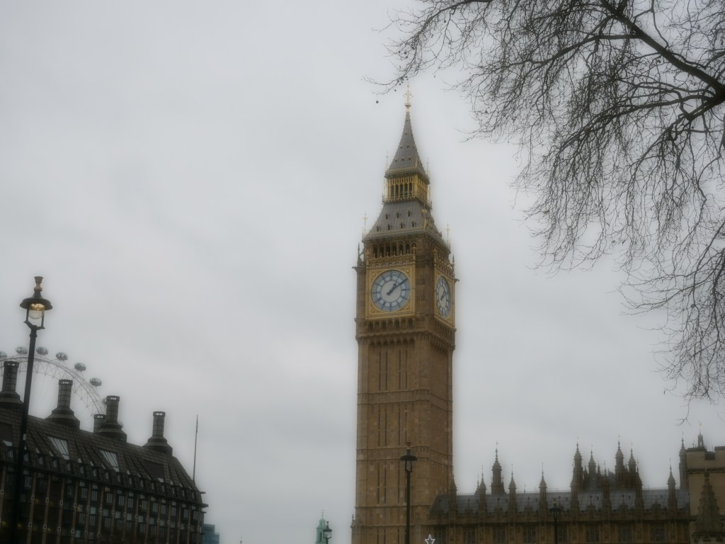
* Several great green spaces including convenient access to the expansive Hyde Park and several smaller plazas including (Hyde Park Corner, Sloan Square, Ebury Square, and Grosvenor Gardens).
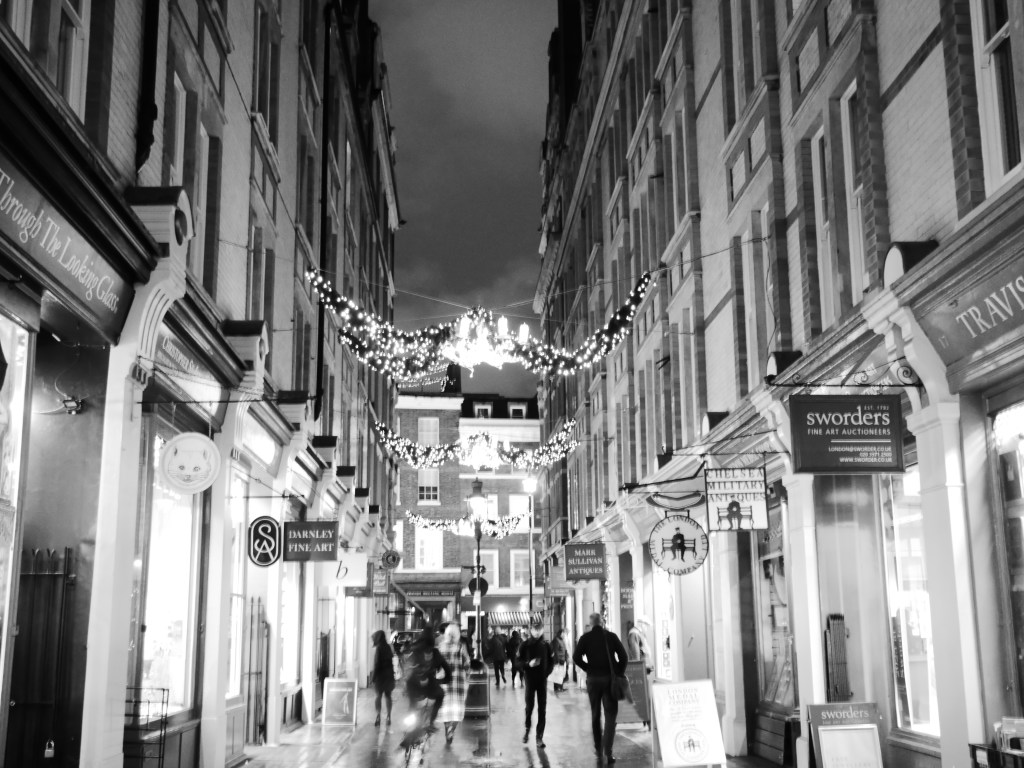
* Great White Stucco and red bricked terraces along with more modern in-fill especially surrounding Victorian Station. Also a fair number of more intimate rowhouses along several mews.
* Attractive pedestrian scaled commercial districts along Elizabeth St., Eccleston St & Pl., Motcomb St, and Sloan Square. Other solid commercial districts but wider and less pedestrian arterials (i.e. Sloan St., Knightsbridge.) Decent # of mixed-use street but not on the scale of Central London neighborhoods.
* Excellent metro access including 4 stations and 3 metro lines.
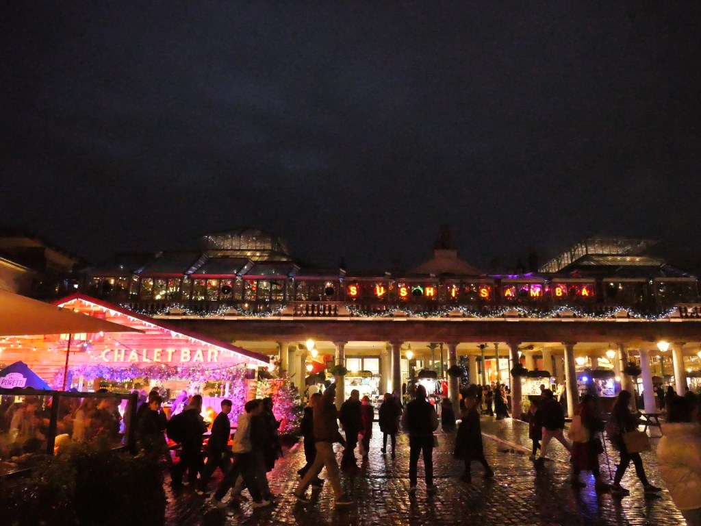
* Great cultural amenities including tons of restaurants, bars, & cafes, several ornate theaters, a couple live music venues, and several art galleries.
* Solid retail amenities as well including several shopping malls (Victoria Place, Fountain Square, Eccleston Yards), plenty of high end clothing stores, and much more.
URBAN WEAKNESSES:
- Bike lanes are pretty limited and what do existin are in small segments.
- Better tree canopy that most Central London Districts.
- Missing any major museums.
- Very affluent district with limited income diversity.
- Low density for such a centrally located neighborhood of only around 10K per square mile.
- Many attractive green spaces are privatized (i.e. Buckingham Palace Garden, Belgrave Square Garden, Easton Sq Garden, Chester Square, Cadogan Place South Garden, Wilton Crescent Park and Lowndes Square Garden).
- Many attractive green spaces are privatized (i.e. Buckingham Palace Garden, Belgrave Square Garden, Easton Sq Garden, Chester Square, Cadogan Place South Garden, Wilton Crescent Park and Lowndes Square Garden).