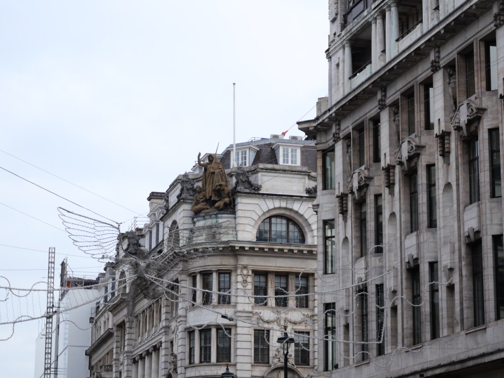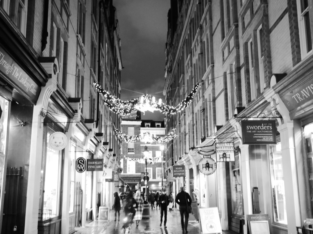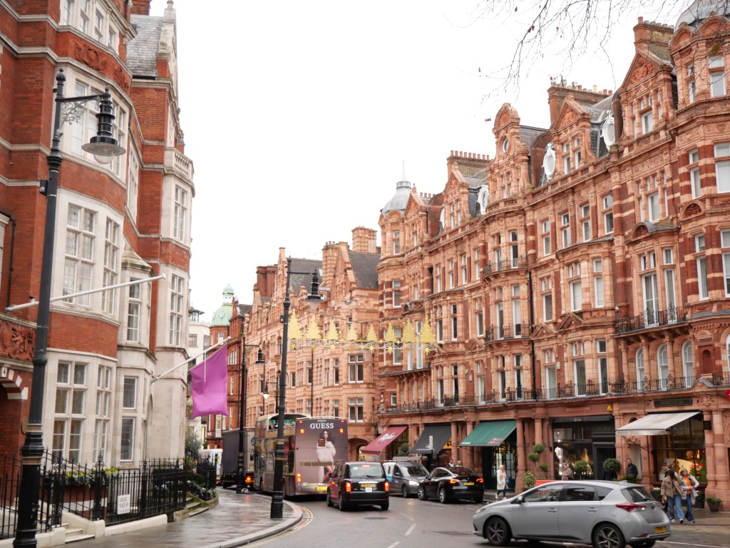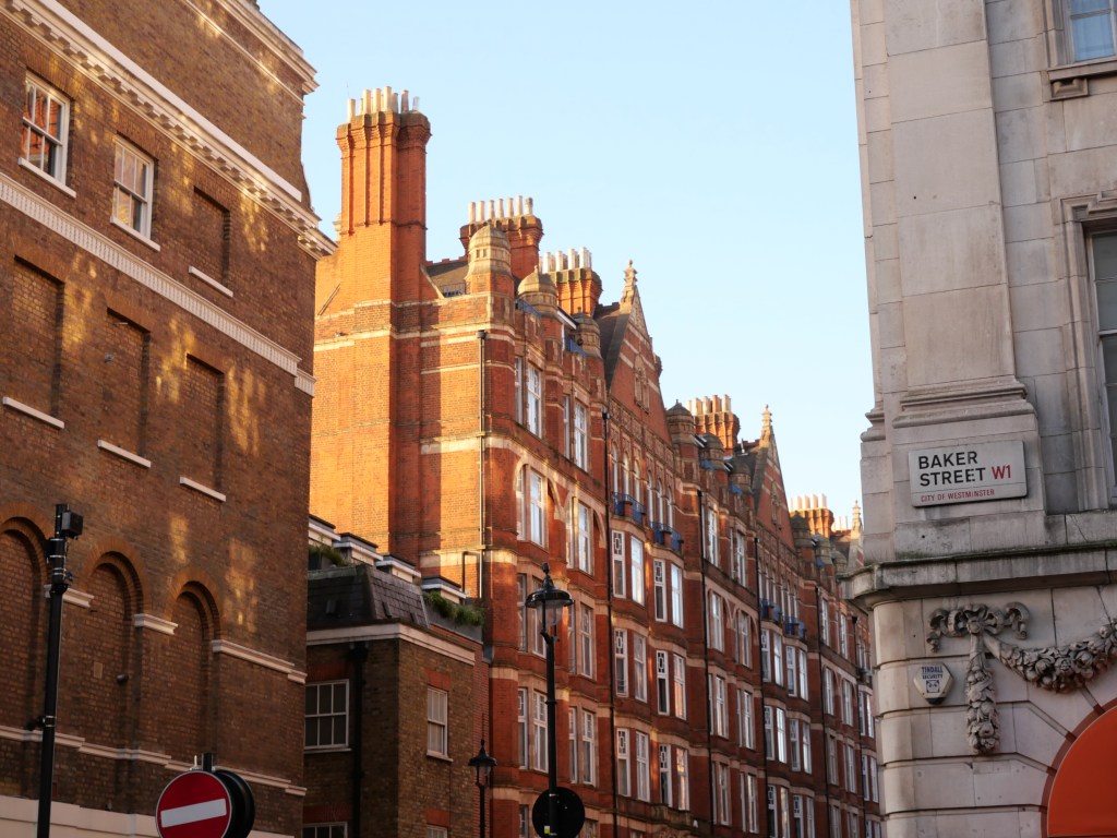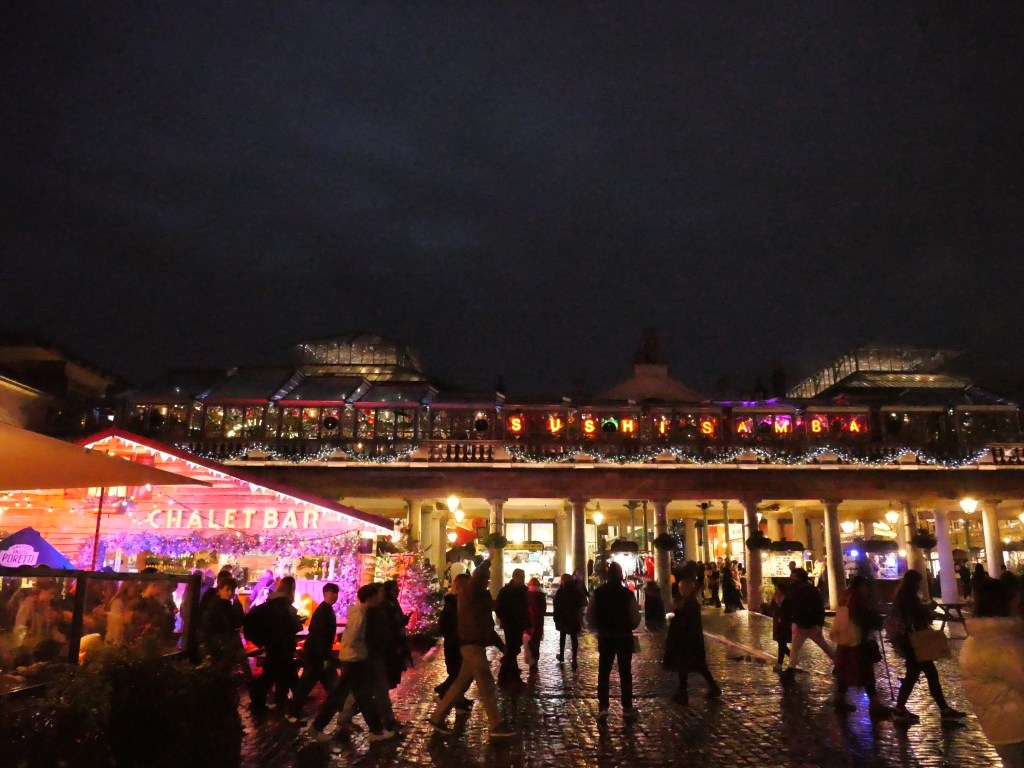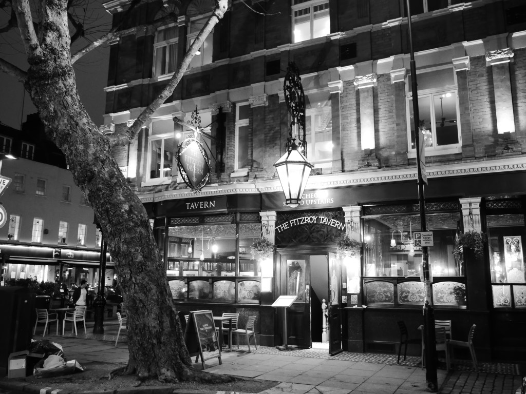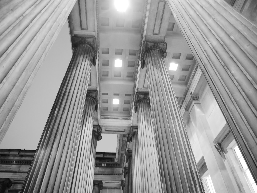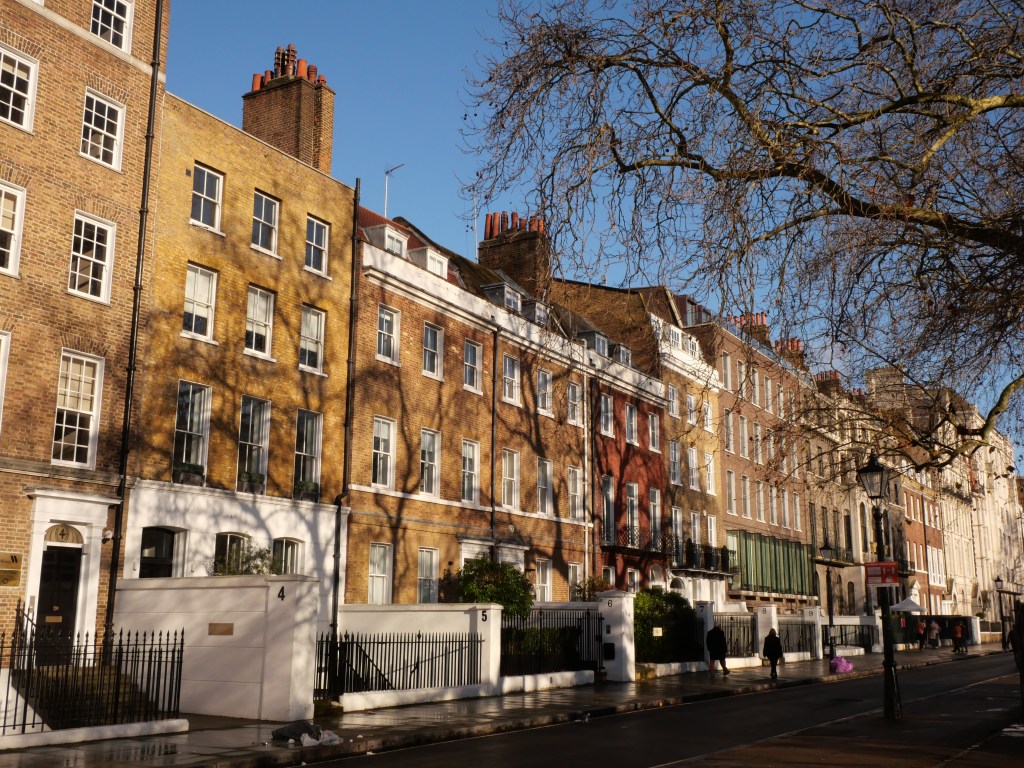
Bloomsbury- Central London District known for its Terraced Housing, Gorgeous Urban Squares, and Wonderful Concentration of Museums, Universities, and Institutions.

The boundaries for Bloomsbury are a bit vague. For the purposes of my Bloomsbury neighborhood review I consider the district to be bounded by Bloomsbury/Great Ormond to the South, Grays Inn to the East, Tottenham Ct Rd to the west, and Euston Rd to the north.

Development really got started in the district with the construction of Bloomsbury square and surrounding terrace housing by the 4th Earl of Southampton right after the Great Fire in the 1660s. This was one of London’s first square developments. Development slowly continued in the 18th century but it wasn’t until the early 19th century that Bloomsbury filled in as the Duke of Bedford financed many affluent Georgian style terrace housing developed by the famous James Burton responsible for building around 3 thousand Georgian style terrace housing typically surrounding Parks and Square. Much of Bloomsbury is still owned by the Bedford Estate. Because of this concentration of elegant Georgian style terrace housing Bloomsbury has one of the highest proportions of historically listed buildings and monuments per square meter of any conservation district in London.

Modern Day Bloomsbury is an interesting mix of large institutional uses and museums (i.e. University of London & the British Museum), many historic Terrace housing developments with pockets of mid-century infill and more modern infill due to the district’s gentrification. There are also a number of the classic Mews lanes (compact rowhouses lined along dead-end narrow streets behind more prominent terrace housing). A good example of this is the Gower Mews. Overall Bloomsbury is a great urban district with solid density, wonderful cultural institutions & museums, vibrant streets, world class subway access providing convenient access to all of Central London, and a great array of urban parks and plazas, which are mostly open to the public. If I’m being nit-picky I’d like to see a bit more density in Bloomsbury, but this would need to be carefully done not to destroy some of the district’s monumental and gorgeous terrace housing. Bloomsbury could also use more extensive bike lane infrastructure and better tree canopy. 

Click here to view my Bloomsbury Album on Flickr

URBAN STRENGTHS:

*  Euston is a very busy and car heavy east-west street. Tottenham Cut and Bloomsbury Way are other very active streets with all modes of transportation and much more human scale than Euston.
* Nice narrow/quasi pedestrian streets at Museum St & Little Russel. Nice two block biz district along Southampton Row. Good amount of mixed-use blocks on mostly residential streets but less so than neighboring Holborn.
* Great Gardens and parks in Bloomsburg and most of the are open to the public. Bloomsburg Square Garden, Russel Square, Montague Street Gardens, Tavistock Square, Gordan Square,  Woburn Square, Brunswick Square Gardens, Mecklenburgh Square, St. George’s Garden,  Regent Square Garden, Bramber Green, Argyle Square, Cartwright Gardens. Many of these squares are  lined with gorgeous 18th and 19th century flats.
* Several well known destinations and landmarks including St. Pancras Station, King’s Cross, Euston Station, the British Library, The British Museum, the University of London (which includes many great historic landmarks of its own), the Charles Dickens Museum, the Wellcome Collection, Grant Museum of Zoology, St. Pancreas Church, St. George’s Church. Many other smaller museums and cultural sites.
* Other than Museums great array of restaurants, bars, cafes, live music venues and theaters. Solid retail amenities as well including the Brunswick Centre is an interesting modern Brutalist development including a residential building with a shopping centre at ground floor and a major plaza space.
* Better density than most central city London Districts of nearly 30K residents per square mile. Given all the space dedicated to institutional uses this is likely due to the large University of London population.
* Very vibrant district thanks to all the college students and institutional uses.
* Great subway access and 8 metro stops and 8 lines.
* Better bike lane infrastructure than most Central London districts including two bike lanes that span the district.

URBAN WEAKNESSES:

* Decent amount of biking occurs here, but any bike lanes are very short segments.
* A bit on the touristy side but not overwhelming.
* Other than the park space tree canopy is pretty limited.
* Decent density  (25K per square mile) and bit better than Farrington to the east but pretty low compared to most European central cities.
* Better tree cover than most Central London district but still underwhelming compared to a City like Parks. 

Holborn- Central London Neighborhood located on the Western Edge of the City of London

Holborn is a Central City neighborhood with sitting just west of the City of London. The neighborhood has roots in the ancient parish of Holborn, which lay on the west bank of the now buried River Fleet. The westward growth of London beyond the City Wall, and towards the seat of government in Westminster, took place along the banks of the River Thames and along the roads leading from Ludgate (Fleet Street and The Strand) and Newgate (Holborn/High Holborn). The westward growth towards Westminster accelerated in the 16th century(the Tudor Era) and the Fire of London in 1666 pushed growth in Holborn further northward away from the Thames River. The northern fringe of Holborn filled in during the 18th century. 

Modern day Holborn is a highly walkable district with convenient access to the plethora of professional jobs in the City of London along with the West end, Covet Garden, and the major train stations of King Cross & St. Pancras. The built environment of Holborn is mostly 4-7 story mixed use buildings built between the 17th-20th centuries with more monumental buildings along its southern edge (i.e. Fleet St., and the Strand). Holborn really excels at creating the type of mixed-use environment that Jane Jacobs so desired as most streets have some level of non-residential uses. This givens Holborn much more of a medieval feel where use types were much more flexible than even a turn of the 20th century NYC Manhattan neighborhood which tended to concentrate commercial uses on busy linear streets. This lends helps create a district with a vibrant retail, office, and cultural scene having a level of street activity far exceeding its 25K residents (per square mile) would typically justify. There are still some areas for improvement as bike infrastructure is limited to short segments, the tree canopy is concentrated only in parks, and a density of 25K people per square mile feels pretty underwhelming for a Inner City European neighborhood.

Click here to view my Holborn neighborhood on Flickr

URBAN STRENGTHS:


* Holborn is the major west-east corridor and is very active with pedestrian and bike activity. Bloomsbury & Kingsway are similar streets but with less activity and commercial uses.
* Red Lion/Lamb’s Conduit is a nice quasi intimate pedestrian street.
* Other good urban biz streets include Grays Inn, the Strand, and lots of other mixed-use blocks especially along the western edge. 
* Major landmarks here include Temple Church, Kings College, Somerset House, Waterhouse Square. Sir John Soane’s Museum,
* Several great parks as well including: Lincoln’s Inn Field North Lawn Garden, B, Red Square Gardens, & Grey’s Inn Square.
*  Even outside of the major landmarks architecture is comprised of largely gorgeous styles from the late 17th century-early 20th century with some more modern infill sprinkled throughout the district.
* Well connected to the Tube with 4 stations and 6 lines serving the district.
* Excellent cultural amenities here including tons of restaurants, bars, cares, museums, theaters, & cinemas. Great retail amenities as well. Everything is very convenient here. Great mixed-use fabric that would make Jane Jacobs proud. 

URBAN WEAKNESSES:

* Decent amount of bike occurs here, but any bike lanes are very short segments.
* A bit on the touristy side but not overwhelming.
* Other than the park space tree canopy is pretty limited.
* Decent density  (25K per square mile) and bit better than Farrington to the east but pretty low compared to most European central cities.

Farringdon- Central London District located north of Smithfield Market & Scene of several of Charles Dicken’s Novels

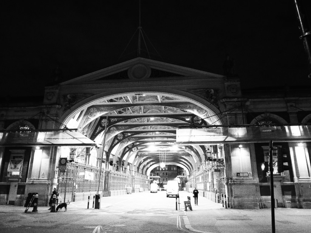
Farringdon is located in the London Borough of Islington located just north of the City of London with Smithfield Market being its southern border. The Smithfield Market dates back to 1133 and has been continually operating ever since, even escaping destruction from the London Fire of 1666. However, the City of London has sealed the fate of this storied market with plans to close it in 2028. The Farrington neighborhood grew up north from the Smithfield Market after the Great Fire along the Great North Road, which traces the modern day streets of St John & Islington High Streets. The Great Fire of London prompted the expansion of London beyond the traditional City of London boundaries north of the Roman Walls. By the early 1810s Farringdon was fully developed. However much of the northern half of Farrington was considered a slum in the first half of the 19th century and featured frequently in Charles Dicken’s Oliver Twist and David Copperfield novels.

The Smithfield market was reconstructed in the 1860s in a stunning new Victorian era building. This era also included  the construction of a road over the River Fleet which served as the northeastern terminus of the world’s first underground subway, the Metropolitan Railway, Several urban renewal projects in this time period also helped lift Farrington out of poverty and into a more “respectable” working class neighborhood specializing in  printing, brewing, and watchmaking. However after WWII Farrington experienced another period of decline. The neighborhood slowly emerged out of several decades of decline by the 1980s as Farringdon became a desirable place for artists desiring cheap loft space. By the late 1990s, gentrification was in full swing and Farrington became a desirable area for white collar works. In the early 2020s transit improvements to Farringdon station and the creation of the Elizabeth line have further spurred development  and increased real estate values.

From an urban perspective Farrington is an attractive highly walkable mixed-use district with excellent public transit and access to central London with decent bike infrastructure and comfortable human scale design. Major amenities include Smithfield Market, Exmouth Market, the St. John’s Biz District, and several attractive urban parks. Given its medium density of around 15K residents per square mile (very low for a Central European City) I’d like to see more intensive development especially around Farringdon Metro Station. There is new construction here but its mostly 4-5 stories and I believe this area should have more residential high-rises to take advantage of its TOD access and Farringdon’s Central London location.

Click here to view my Farringdon Album on Flickr

URBAN STRENGTHS:

* Excellent pedestrian scaled biz district on Exmouth Market. Also nice biz district on St. John’s St.
* Leather Lane is a very interesting compact biz district. More on the gritty side but has markets sometimes. Parts of it have been pedestrianized.  Hatton garden is only a block over from Leather lane and is a historic jewelry district.
* Good biz district along Clerkenwell Rd and Farringdon but wider streets than St. John’s St so not as intimate.
*  Nice mix of more historic Eastend Central London 18th & 19th century architecture on narrow medieval streets mixed with more spacious modern styles. 
* St. Peter’s Italian Catholic Church is a very interesting 19th century church tucked into the urban fabric. S]
* Three subway stations (i.e. Chancery Lane Station, Farringdon & Barbican) serve the neighborhood which includes 4 different subway lines.
* Not a terribly touristy area. Seems very livable.
* Very mixed use and amenity rich district.

URBAN WEAKNESSES:

  • Better park spaces than most Central London neighborhoods (i.e. St. James’ Garden, Spa Fields & Chaterhouse Square, St. John’s Garden) but still kinda limited. Tree canopy is so so.
  • Decent bike lane infrastructure but still some gaps in the two main lanes along Clerkenwell & Farringdon.
  • So so density for a central European neighborhood at around 15K-20K people per square mile.


The City of London- London’s Historic and Commercial Heart

Established by the Romans around 47 AD as Londinium, the City of London forms the historic core of the wider London metropolis. Given its history as a walled City for 1700 years, the City of London has retained its unique local authority led by the Lord Mayor of London. The City of London contained what was considered all of London until the late 17th century when the Great Fire prompted the great expansion of the City (esp. to the west).  As railroads prompted the rapid expansion across London’s vast suburbs during the 19th century, the City’s population fell rapidly. Many residential buildings were demolished to make way for office blocks as the City of London established itself as one of the great commercial & financial centers of the world. The City of London’s population  rapidly declined from 132K in 1850 to 32K in 1900.

The City transformed again during WW II with the highly destructive Blitz bombing of 1940. Large swathes of the City were destroyed leading to a major rebuilding program in the decades following the war and creating large block developments like the Barbican complex. However, many of the smaller historic buildings of London survived and are still in tact today. The 2000s brought another wave of large commercial developments leading to many high-rises like the Gherkin and the Walkie Talkie Bldg concentrated in the northern and eastern parts of the City.  By  2020 the City’s office population had reached nearly 550K and since the pandemic has increased to almost 700K. The City  has also seen a modest increase in residents. Since it’s historic low of 4K in 1990 the City of London reached nearly 15K residents in 2023. 

From an urban perspective the City of London is a strange combination of an European medieval street network and an American hodgepodge of historic and modern buildings plus a sprinkling of pre 19th century buildings of all London’s remaining landmarks. The City has a curious mix of very narrow historic streets with small commercial buildings and large modern blocks and skyscrapers.  The key area for improvement in the City of London include more permanent residents to complement its great concentration of daytime workers. I’d also like to see improvements to the City’s walkability & livability with the creation of more pedestrian streets on par with most European cities, more consistent bike lanes, park expansions, and more restaurants & bars.

Click here to view my City of London Album on Flickr

URBAN STRENGTHS:

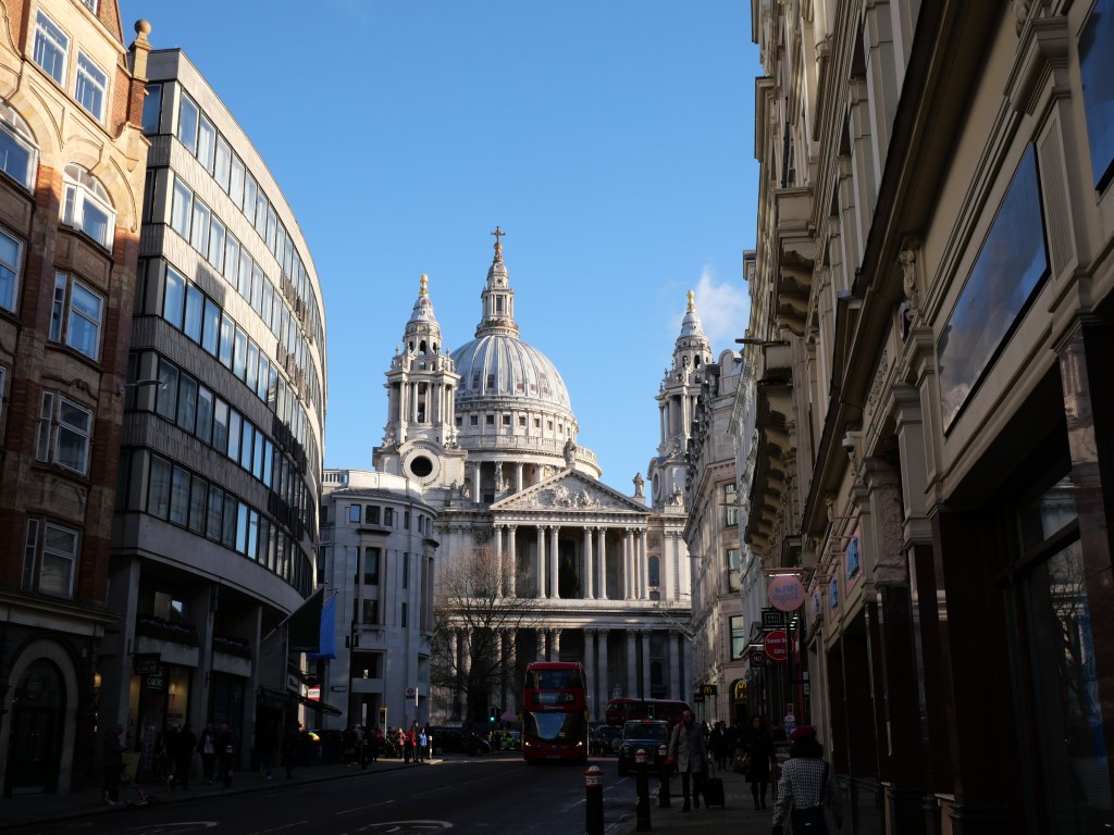
* Includes incredible landmarks such as St. Paul’s Cathedral, the Temple Church Complex, Bank Junction, Leadenhall Market, the Walkie Talkie Bldg, The Gherkin, the Lloyd’s Building, Tower of London, Monument to the Great Fire of London, Barbican Complex, the St Bartholomew’s Complex, Smithfield Market, Finsbury Circus Gardens, Liverpool Street Station, Guild Hall, Smithfield Market, small remaining segments of the London Wall, and countless saved or constructed historic churches since the Great Fire of 1666.
* Very mixed fabric of historic and in-fill. I particularly liked the plentiful small flat iron bldgs created by all the diagonal streets.
* Lots of intimate and narrow streets which is very different than most American dwtn’s filled with wide arterials.
* Several extensive shopping malls. (i.e. One New Change, New Street Square, the Royal Exchange, Broad Gate Circle.
* Lots of small parks and plazas tucked into hidden spaces or located at historic sites.
* Incredible employment hub hosting roughly 700K jobs. This has grown by over 100K since the pandemic. 

URBAN WEAKNESSES:

* Some pedestrian or semi-pedestrian streets but underwhelming compared to other European Center Centers.
* This is also a very 9-5 Downtown esp. for a European Historic Center. Much less vibrant than adjacent London Inner City neighborhoods.
* While the streets are still very medieval in lay out,  much of the historic (post WW-II) buildings have been replaced by modern buildings and many blocks went through urban renewal or had to be replaced after the London Bombing of 1940. This is very different than most European cities and feels much more American with lots of dead and cold parts of Dwtn.
* Lacks medium to large park spaces and economic civic gathering spaces that can really mark a Center City area.
* Better bike lane coverage than most inner London neighborhoods but segments are small and broken up and rarely protected bike lanes. Regardless still a good amount of cycling occurs in Central London.
* Tree canopy is pretty limited.
* Not great population for a Central City European area at around 8-9K residents for just over a square mile.

Shoreditch- Historic Entertainment District, now Gentrified East London Neighborhood

Shoreditch really got its start as an important centre of Elizabethan theatre in  the 16th given its location just outside of the rather Puritanical laws of the City of London. Shoreditch has continued to be an  important entertainment centre since that time. The east–west course of Old Street–Hackney Road, which runs along the north border of Shoreditch, was  originally an important Roman Road connecting London to the countryside. During the 17th century, Shoreditch started to develop with wealthy traders and French Huguenot silk weavers moving into the area establishing a textile industry. By the 19th century, Shoreditch transitioned into a hub for the furniture industry. These industries, however, declined in the late 19th century.

During the turn of the 19th century, Shoreditch was a centre of entertainment to rival the West End and had many theatres and music halls. However this was not to last as Shoreditch was heavily bombed during the Second World War loosing much of its historic housing stock and the neighborhood faced significant decline in the post War era as both its textile and furniture industries declined. Shoreditch remained an underinvested community until the 1990s when the area became fashionable again with a strong association with the creative industries. Since the 2000s Shoreditch and Old Street have become popular with London-based web technology companies centered around the East London Tech City district near the Old Street tube station.

From an urban perspective Shoreditch is a lovely, heavily mixed-use area with an interesting mix of smaller scale historic blocks and larger modern infill. The area has great access to the Tube system and is located just north of the City of London. Shoreditch has great access to all the market destinations of Spitalfields while avoiding the crowds. The Old Street Corridor continues just west of Shoreditch and hosts a solid commercial district and several more intimated mixed use lanes. 

Click here to view my Shoreditch Album on Flickr

URBAN STRENGTHS:

* Good biz districts along Curtain and some excellent narrow mixed use streets perpendicular to it (Rivington & Charlotte Rd)
*Very eclectic neighborhood. More Dwtn feel on the southern edge. Mix of mid century, modern infill and traditional East London rowhouses. Most of the district has a strong mixed-use feel.
* Some cool commercial  uses along  Great Eastern/ Old St and Whitecross Street.
* Several nice mixed-use streets in the western edge of Shoreditch (i.e. Leonard and Paul)
* Boundary Gardens is great urban park with attractive brick terrace housing surrounding it and surrounding blocks. The development was built in the late 19th century as part of a slum clearing effort.
* Much less touristy than adjacent Spitalfields.
* Several subway lines serve the neighborhood at Shoreditch High St Station. Old Street also has a tube stop along Black Line.
* Solid density around 40K residents per square mile.

URBAN WEAKNESSES:

  • Better park space and tree canopy than Spitalfields but still not great.
  • Seems to be a lot of biking activity even though dedicated bike lanes are in short supply.

Spitalfields- Historic East London Neighborhood Filled with Historic and Modern Markets and Layers of History

Historic Spitalfields, or at least the earliest connection to its current name,  was the St Mary Spital, a priory/ hospital (a lodging for travelers run by a religious order) erected on the east side of the Bishopsgate thoroughfare in 1197. Spitalfields consisted mainly of fields and nursery gardens until its development in the late 17th century. The infamous and still active Spitalfields Market was established in 1638 by Charles 1. Development came to Spitalfields in the late 17th century with the arrival of French Huguenots fleeing religious oppression in France. The Huguenots came with expertise in the silk industry quickly establishing a vibrant industry in the neighborhood. Shortly after Spitalfields became an independent parish in 1729 located just outside the City of London. By the Victorian era, the silk industry entered a long period of decline and the old Huguenot merchant dwellings degenerated into multi-occupied slums. Spitalfields became a by-word for urban deprivation and hosted several of the Jack the Ripper murders. But life in Spitalfields continued on and welcomed new immigrants including large numbers as Eastern European Jews in the 1800s who specialized in furniture making and tailoring and repopulated many of the large Huguenot houses. By the mid 20th century mainly Bangladeshi immigrants moved into the neighborhood also picking up work in the local textile industry and made Brick Lane the curry capital of London. Spitalfields continued to attract large numbers of immigrants throughout the 20th century and by 1981 at least 60% of households were of minority ethnic origin.

Spitalfields’s regeneration was really seeded in the 1970s with a local campaign to save the housing stock of old merchant terraces west of Brick Lane from demolition. Many have been conserved by the Spitalfields Historic Buildings Trust. Spitalfields continued to gentrify into the early 21st century welcoming several new large office blocks built near Bishopsgate, Aldgate, and Spitalfields Market and a reemergence of the strength of its historic markets (i.e. Spitalfields, Petticoat Lane) complimented with newer markets and modern makers & creators. Spitalfields has become the top destination in East London, attracting thousands of visitors every day, but still retains much of its historic charm of busy markets, gritty streets, and narrow lanes filled with layers and layers of history. Most of the newer apartments and office towers have remained on the edges of the district, not taking too much away from its charm and historic scale.

Click here to view my Spitalfields Album on Flickr

URBAN STRENGTHS:

* Dense district for London standards at about 42K people per square mile.
* Very active mixed-use district which draws large numbers of tourist and Londoners from outside the neighborhood.
* Several great markets located here starting with the historic Spitalfields Market. The Truman Brewery Markets is a weekly outdoor market place. Petticoat Lane is historic market going back to the 1650s spanning Middlesex Street, Wentworth Street, and all of the lanes in between.  Backyard Market is a newer community-driven platform that provides a dedicated space for emerging artists and entrepreneurs.
* Commercial street is really interesting and includings mostly intact 18th & 19th century brick East End commercial bldgs.
* Princelet St is a very gritty narrow commercial street/Brick Lane. Very interesting. Lots of Indian/Bangladeshi restaurants. Lots of interesting and gritty streets that come off of this.
* Lots of cool and intimate mixed-use alleys (i.e.  Artillery Psge, Widegate St
Some really cool landmarks including: Christ Church Spitalfields.
* Great graffit art along Grey Eagle St.
* While there are no subways stops within Spitalfields, there are plenty of stops on all sides of the district connecting the neighborhood well to the rest of London.

URBAN WEAKNESSES:

  • A real hodgepodge of architectural styles. Not a terrible thing as most buildings have good urban form (even the uglier mid-century bldgs).
  • A bit too gritty for some. Spitalfields market can get incredibly congested which isn’t everyone’s pace.
  • A tree canopy is pretty much non existent.
  • Several nice smaller plazas spread throughout (Aldgate plaza, Bishop Square, Elder Gardens) but really no medium to large sized parks.
  • Bike shares are plentiful but dedicated bike lanes are very limited.”

Mechanicsburg, PA- Historic Suburb of Harrisburg

Mechanicsburg was named after a settlement of mechanics who made and repaired Conestoga wagons in the early 19th century. The town’s economic based changed in 1837 with the creation of the Cumberland Valley Railroad. The train became the town’s link to the world of business and industry spurring the creation of grain and feed companies, lumber yards, and numerous factories. By the Civil War era Mechanicsburg reached 2K residents and continued to grow steadily reaching 4K by 1900 and 7K in 1950. After decades of suburban growth thanks its proximity to Harris burgh and the recent new urbanist inspired “”Legacy Village community, the Borough exceeded 9K residents in 2020.

Thanks to its significant pre 1900 population, Mechanicsburg is a historic town with a largely urban and square mile core with decent retail amenities, good urban form, attractive park amenities, and a stable yet affordable housing market. For Mechanicsburg to become a top tier urban district it needs more population and urban in-fill similar to historic DC suburbs like Fredrick Maryland. I’m just not sure that Harrisburg has the economic dynamism to create just am urban suburb.

Click here to view my Mechanicsburgh album on Flickr

URBAN STRENGTHS:

* Overall good sidewalk infrastructure with about 1/2 of all curb cuts being ADA standard.
* Generally well rated public schools all within walking district of the historic Mechanicsburg. Also a couple of private schools too.
* Pretty high safety marks in Mechanicsburg.
* A couple expansive parks with numerous ballfields and sports facilities. Also an outdoor pool but not dynamic plaza and urban park in the core of the City. No Civic gathering space.
* Lots of attract mid-late 19th century architecture styles but lots of different eras representing up until the 1950s. A good amount of the historic stock is a bit gritty and more working class in fell. The historic stock is not on the same level as Fredrick MD or even York  PA.
* Solid urban massing along most of Main Street and the commercial blocks of Market are pretty solid urban form. Nothing particularly special about the streetscaping.
* Decent amount of rentals moderately priced. 1-bes lease btwn $900-1.6K, 2-beds  in the mid to high 1Ks and only a handful of 3-bed rentals.
* For sale prices are very reasonable with one condo bldg in a converted schools with 1-bed units selling around 150Ks, 2-beds range btwn 150K-250K depending on size & condition and 3 & 4 beds btwn 150K-450K.
* Decent retail amenities including a supermarket, a couple drug stores, a couple boutiques, antiques, gift stores & banks, a couple book stores, several dessert joints & bakeries, plenty of salons & barber shops, a couple gyms, plenty of churches, and a local public library.

URBAN WEAKNESSES:

* Population density is just under 6K per sq mile which isn’t great for an urban neighborhood but not terrible for an urban town in a metro area.
* So so connection to Dwtn Harrisburg being a 15 min drive and 30 min transit trip. Public transit isn’t great but at least exists.
* Bike infrastructure is non existent.
* Other than a handful of crummy autocentric uses, modern in-fill is non-existent here.
* So so cultural amenities including a handful of restaurants & bars, a couple cafes, a couple small local museums and a  local art gallery. 

Shipoke- Small Historic Residential Enclove just South of Downtown Harrisburg

Shipoke was first settled by Europeans in 1710 as a small trading post before other areas of Harrisburg. Some of the oldest houses in Harrisburg line the narrow, winding streets of this compact, close-knit community. Shipoke is really what is left of Harrisburg’s Southend 19th century residential fabric that wasn’t swallowed up by Downtown, industrial development, or highway spurs. The neighborhood was in pretty rough shape in the 1970s after the extension of I-83 and flooding caused by Tropical Storm Agnes. But after many years of rehabilitation in the 80s and 90s, Shipoke has become a picturesque and affluent Harrisburg enclave located within walking distance of Downtown with gorgeous river views of the Susquehanna River.

From an urban perspective Shipoke is a mostly residential community with convenient access to cultural and retail amenities in Downtown Harrisburg located around 0.5 miles away. It also boast a nice array of moderate for sale options, good park amenities, and high levels of safety. For Shipoke to compete with Midtown as Harrisburg’ best urban district it needs an elementary school to make the district more attractive to families and more retail & cultural amenities located within the neighborhood.

Click here to view my Shipoke Album on Flickr

URBAN STRENGTHS:

* Sidewalk infrastructure is solid but because of the desire to keep the historic brick sidewalks there are few ADA standard curb cuts.
* Hard to get a solid population number by 1,000 residents seems about right get the district population to just shy of 15K per square mile.
* Excellent access to Dwtn Harrisburg being less than 1 mile to the core of Dwtn. Also convenient access across all modes of transit including a Capital Area Greenbelt bike path along the River.
* Solid racial diversity and ok economic diversity. This is def a higher end professional neighborhood.
* Nice historic for sale housing stock at pretty moderate prices considering Shipoke’s proximity to Dwtn. 2-beds sell in the 200Ks and 3 & 4 beds btwn 150K-400K.
* Solid park amenities for such a small district including a playground park, riverfront park along the Susquehanna River and a greenspace along the highway. City Island is also only about 1 mile away.
* Overall a very safe community.
* Some of the best preserved mid-late 19th century rowhouse architecture in the City. In-fill is a mixed bag. Some nice historically sensitive in-fill and solid modern but urban infill. Also some unattractive post War buildings (e.g.  parking garages, hotels, etc.
* Generally good urban form in the district but more autocentric uses in the northern edge of Shipoke and some unattractive highways and stroads sit on the eastern edge of the district.

URBAN WEAKNESSES:

  • Several well rated specialty public high schools and private schools Dwtn but no schools located within Shipoke.
  • Lots of young professionals and empty nesters. Few family households.
  • Rentals are mostly limited to whole home renovations but a pretty reasonable prices.
  • As this a primarily small residential neighborhood other uses are very limited. Within Shipoke there is a nice bar & restaurant, a couple historic museums, UPMC Hospital, cafe & bakery, a eye doctor. However as Dwtn is 0.5-1 mile away many retail & cultural are still walkable within Dwtn.

South Allison Hill- Harrisburg’s Immigrant Community Slowly Emerging from Decades of Disinvestment

Allison Hill (also known as The Hill) was named after William Allison, an early Harrisburg landowner who owned farms on the bluff outside of the then-Borough. Allison Hill encompasses the Mount Pleasant Historic District located in the western half of the district including a diverse array of mostly rowhouse styles from the late 19th century. Allison Hill quickly transitioned into the booming industrial heart of the city in the late 19th century. Initially Allison Hill attracted immigrants from primarily European countries but this has diversified since the 70s to include a diverse melting pot with immigrant groups from West African, Vietnamese, Indonesian, several Latin American countries and a significant African-American population.  Following its decline since the 70s The Hill has also become a hot bed of  artists and social justice activists. Disinvestment in he community peaked in the early 1990s and the neighborhood has someone stabilized since then thanks largely to an influx of immigrant families. However, Allison Hill has never really gentrified and still contains a large number of vacant properties, contains a high level of families living in poverty, has a higher crime rate than most of Harrisburg and lacks crucial retail and cultural amenities.

Thanks to its dense late 19th century rowhouse fabric, South Allison Hill still has a lot of positive urban attributes despite several decades of disinvestment. The neighborhood has excellent public transit service, convenient access to dwtn, and very affordable housing. With some investment and increase in economic diversity South Allison Hill could become a premiere Harrisburg  urban district and boast density levels higher than even Midtown.

Click here to view my South Allison Hill District Flickr Album

URBAN STRENGTHS:

  • Some of the best public transit access in all of Harrisburg and only a 5-10 min trip to Dwtn about 1-1.5 miles away.
  • Sidewalks are consistent throughout the districts.
  • Solid Density esp. for a community that has seen a lot of disinvestment since the 1970s.
  • Decent poverty numbers at about 20% but also a good # of middle income households too. Large Hispanic and Black populations but limited White populations.
  • Good array of late 19th century rowhouse architecture but not well maintained like Uptown & Midtown.
  • The urban form of the biz districts (Market, 13th, 17th & Derry) actually isn’t that bad in South Allison Hill outside of several concentrations of vacant lots and underutilized land uses. Limited crummy autocentric uses and several good clusters of urban commercial blocks, albeit underinvested.
  • Decent rental availability with lots of affordable options. 1-beds lease btwn 800K-1.1K, 2-beds btwn 800K-1.3K, and plenty of 3-beds leasing in the low-mid 1Ks.
  • Decent retail amenities including a bank, plenty of small ethnic grocerias, a dollar store, a couple drug stores, a local bakery & cafe, tons of barbers and salons, a bike shop, a couple churches and a health center.

URBAN WEAKNESSES:

* Sidewalks while plentiful are also very dated as Allison Hill has not seen major streetscaping reinvestment. Only about 1/4 of all curb cuts have been updated.
* No dedicated bike infrastructure here.
* Parks are very limited in South Allision Hill but at least the expansive Reservoir Park is just outside of the neighborhood.
* Tree canopy is so so and very hit and miss.
* While crime is not off the charts here Allison Hill does hosts some of the most dangerous pockets of Harrisburg and has a lot of blighted and unkept bldgs. But there are strong community ties here esp. among the immigrant groups making it safer. Neighborhood still has a pretty negative perception among locals.
* Western and southern edges are very industrial with unattractive often autocentric uses.
* The only schools located within South Allison Hill are 3 public schools of mixed ratings located in the SE corner of the district.
* Decent for sale inventory but generally very inexpensive. A handful of 1-bed condos selling btwn 50K-100K, 2-beds btwn 50K-150K, 3 & 4 beds btwn 50K-250K. Decent amount of renovated product selling over 150K.
* Cultural amenities are limited to several  restaurants and bars along with a  brewery. Plenty of Dwtn cultural amenities located only about a mile away.

Fountain Square- One of Indianapolis’ trendiest Neighborhoods with plenty of room to grow

Fountain Square is located just southeast of the inner belt with the core of the neighborhood located where Prospect and Virginia Ave intersect. The neighborhood derives its name from the successive fountains that have been prominently featured at the intersection of Virginia Avenue, East Prospect Street, and Shelby Street. The neighborhood developed primarily by German-American immigrants who established a strong German character on the city’s southside. The ethnic mix diversified near the turn of the 20th century as Fountain Square saw an influx of many Eastern and Southern European immigrants. From the 1920s to the 1950s, Fountain Square was the City’s main entertainment district  with several theaters gracing its streets at one time, which is unusual as most city’s entertainment districts are located downtown or on the edge of it. Fountain Square hit a high point of 27K residents in 1950 but like most inner city Indianapolis neighborhoods it declined rapidly after WWII.  After decades of population decline, Fountain Squar lost almost 2/3s of its population and now has just under 10K residents. While the population has still not stabilized, Fountains Square’s revitalization efforts began in the 1980s with the creation of three designated national historic districts (Laurel and Prospect, State and Prospect, and the Virginia Avenue Districts). Serious revitalization efforts really got going in the 1990s focused on stabilizing the historic Commercial District of Fountain Square at Prospect and Virginia. This momentum has continued to the present day as reinvested commercial blocks continue to slowly expand down Prospect and Shelby Street and more and more residential streets stabilize with renovations and new construction. 

While Fountain Square is considered one of Indy’s trendiest neighborhoods and one of the City’s 7 cultural districts there is still a lot of stabilization needed here outside of the core blocks surrounding Virginia & Prospect and in the residential streets especially in the eastern half of the neighborhood.

Click here to view my Fountain Square album on Flickr

URBAN STRENGTHS:

* Convenient access to Dwtn being about 2-3 miles away from Fountain Square.
* Good dedicated bike lane system including an off road bike lane running along Virginia to the heart of Dwtn.
* Fountain Square has decent racial diversity at about 65% White and the rest a mix of Black & Hispanic families. Wide divergence in incomes between the more gentrified area in the heart of Fountain Square (closer to Dwtn) and along the edges of the district. Solid generation diversity with a good mix of family households and young professionals.
* Safety in Fountain Square has come a long way since the mid-90s when this was a pretty dangerous neighborhood. Overall the neighborhood is now pretty safe but some crime in pockets of the district likely along the less gentrified edges. Still a good amount of grit and vacant lots remain in these areas.
* Excellent concentration of attractive early 20th century commercial bldgs in the core of Fountain Square. The residential areas are a mix of more detailed homes that have been fixed up and underinvested working housing.
* Solid urban infill in the core of Fountain Square and generally good residential infill.
* Good park amenities including several small parks well distributed across the neighborhood, a couple medium sized parks, the Pleasant Run Trail running the southern edge of the district, and Willard Park, which is a good sized park just to the NE of Fountain Square with a public pool.
* Solid cultural amenities esp. a high concentration of restaurants, bars, cafes, night clubs, live music venues, & art galleries, concentrated at Fountain Square’s heart (Prospect & Viriginia). Limited food & beverage amenities outside of this core.
* Great urban form and esp. Streetscaping at Fountain Square’s heart (Prospect & Virginia).
*  Decent retail amenities mostly concentrated at Prospect & Virginia. This includes a Mexican Grocery Store, good array of boutiques & gift stores, tons of salons, a couple book stores, several dessert joints & bakeries, a couple gyms, a record store. several doctor’s offices and plenty of churches.
* Great array of rentals albeit on the pricier side. Studios lease in the low 1Ks, 1 & 2 beds lease anywhere from $850-2K, and a good # of 3-beds that lease btwn the high 1Ks-3K.
* Significant decent for-sale diversity with a good # of small 1 beds SF homes selling in the 100Ks, plenty of 2-beds selling anywhere from 150K-450K including a mix of condos and SF. 3 & 4 beds sell btwn 150K-750K

URBAN WEAKNESSES:

  • Quality Urban form quickly diminishes as you move away from Prospect & Virginia along Prospect and Shelby. The core of Fountain Square does appear to be slowly creeping down these corridors with quality urban infill. Pretty poor urban form & streetscaping along Prospect Park’s other Arterials (Washington & Southeastern). Lots of industrial uses along these streets.
  • At 5K residents per square mile this is a pretty low density for an urban neighborhood. Significant amount of vacant lots and underutilized commercial/industrial space remain in the neighborhood.
  • Decent access to walkable schools including several k-8 schools of mixed ratings and types.
  • Sidewalks infrastructure is good but not excellent. Less than half of all intersections at ADA standard.”