The City is home to the University of Oxford, the oldest university in the English-speaking world. Founded in the eighth century, The town grew in national importance during the early Norman period after the Oxford Castle. Oxford steadily grew during the Middle ages but remained a University Town. Oxford was greatly affected by the changes of the English Reformation first with several of its ecclesiastical institutions and monasteries being dismantled and confiscated by Henry VIII. Oxford also became a flash point for the Country’s Catholic/Protestant clashes leading to several theologians being executed in the City. Oxford was granted city status in 1542 when the Diocese of Oxford was created gaining Oxford much autonomy. This was also the time when Christ Church College Chapel became the City’s official cathedral. Oxford went on as a more or less sleepy college town until the 19th century when industrialization led to a major population boom. Traditional industries included brewing and publishing (i.e. Oxford University Press). The City’s population and economy grew with this industrial boom, diversifying beyond the universities. Oxford has continued to grow since the Industrial area and has nearly doubled in population since 1980. Currently just under a 170K residents live within the Oxford City residents and around 250K in the metro.
Oxford is very comfortable and walkable small city where due to solid bus service, excellent bike infrastructure and mixed-use development, one really does not need to own a car. Central City Oxford is where the highest concentration of commercial districts, universities, cultural amenities, and department stores are located but several business districts and universities are also located outside of the core City. The more notable districts include the Jeriko District, Summertown District, St. Clement’s and the Headington District. These neighborhoods were developed in the 19th century during the City’s industrial expansion with compact rowhouse streets and linear business districts. There is also an abundance of scenic open space, a great feat for a City with an overall population density of 10K per square mile. The biggest downside of Oxford is its high housing costs, the highest in England second to London. This is due to the City’s strong demand plus a restrictive Green belt which slowed development on the outskirts of Oxford. In order to resolve its affordability problem Oxford needs to decide whether to embrace higher densities within the existing city limits or to expand out to the hinterland.
Click here to view my Oxford Album on Flickr
URBAN STRENGTHS:
- Several world renowned gothic inspired landmarks (i.e. Radcliffe Camera, University Church of St Mary the Virgin, Oxford, Castle, Tom Tower, Merton College, Magdalen College, Museum of Natural History, Carfax Towner, Christ Church.
- excellent market (the Covered Market) in the center of town.
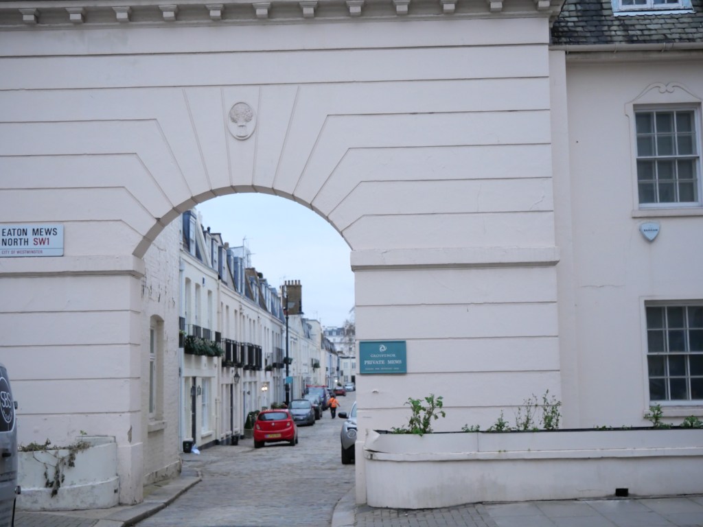
- Several excellent commercial districts most notably Cornmarket, Queen, Bonn Square (all pedestrianized), High Street , St. Aldate’s, Walton St (located outside of central Oxford in the Jeriko District), Banbury Rd (Summertown District), St. Clement’s St & Cowley Rd (located southeast of Central Oxford), and London Rd in the Headington District east of the Central Oxford.
- Oxford all hosts an extensive dwtn mall (Westgate Mall) hosting several department stores.
- Plenty of mix-used streets outside of these main corridors.
- Incredible amount of parks and open space within the Oxford Limits. Pretty well enforced urban growth boundary which prevents Oxford from leapfrog development and sprawl.
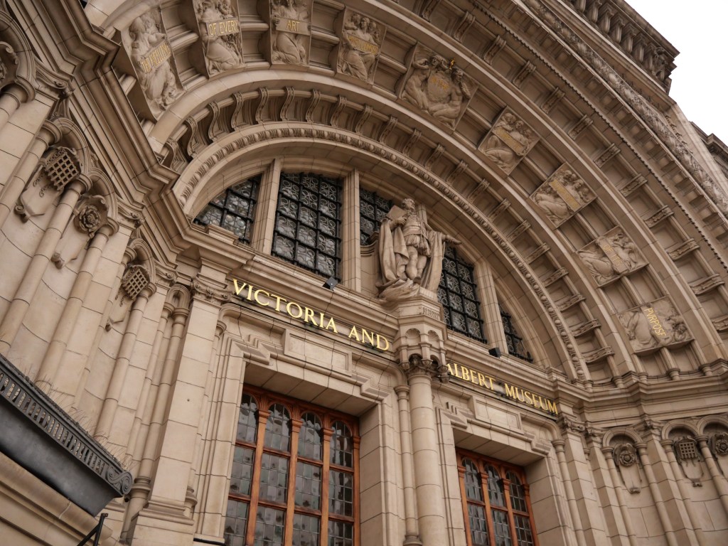
- Thanks to all the universities and historic institutions contains in Oxford, this town really punches above it weigh class for cultural amenities.
- Comprehensive bike lane system covering nearly the entire city. Much better than the bike lane system in London.
- Solid tree canopy.
- Solid density for a City with so much green space, sitting at just under 10K per square mile.
- Very manageable City (at only 18 Sq Miles) where you can basically walk anywhere or take the bus which is of high service.
URBAN WEAKNESSES:
* Too small for any transit but good regional connections to London and other UK destinations.
* Plenty of more suburban districts on the edges of Oxford (esp. the eastern side of town) with limited walkability.
* Can get touristy at times.
* Very expensive City to reside. This is due to the City’s strong demand, historic preservation, and Green Belt stopping development from spilling into the surrounding countryside.